Winterborne Stickland
Winterborne Stickland is a village and civil parish in the county of Dorset in southern England. It lies about four miles (six kilometres) west of the town of Blandford Forum. In 2013 the civil parish had an estimated population of 520.[1] In the 2011 census the parish, combined with the smaller neighbouring parishes of Winterborne Clenston to the south and Turnworth to the north, recorded a population of 653.[2]
| Winterborne Stickland | |
|---|---|
 Winterborne Stickland | |
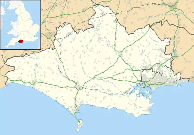
 Winterborne Stickland Location within Dorset | |
| Population | 520 |
| OS grid reference | ST835046 |
| Unitary authority | |
| Shire county | |
| Region | |
| Country | England |
| Sovereign state | United Kingdom |
| Post town | Blandford Forum |
| Postcode district | DT11 |
| Police | Dorset |
| Fire | Dorset and Wiltshire |
| Ambulance | South Western |
| UK Parliament | |
| Website | Winterborne Stickland Parish Council |
Winterborne Stickland is sited in a winterbourne valley in the Dorset Downs, which gives rise to the first part of its name. The second part "Stickland" is derived from sticol, Old English for "steep".[3]
Blandford Forest is a scattered area of woodlands northwest of Blandford Forum that is located within a 10 km radius of Winterborne Stickland.
History
The Domesday book[4] records the canons of Coutances (St Mary), Normandy, as the tenant-in-chief in 1066 with no change by 1086, after the conquest.
In the Pimperne Hundred, the village had 12 villagers, 20 smallholders, 5 slaves, 9 ploughlands, 4 lord's plough teams, 4 men's plough teams, 3.75 lord's lands, pasture of 26 by 4 furlongs (5,200 by 800 metres), woodland of 5 by 4 furlongs (1,000 by 800 metres) and 1 mill valued at 12 shillings and 5 pence.
The annual value to the lord was 15 pounds in 1086. The 37 households place Winterborne Stickland in the largest 20% of settlements recorded.
The church
The parish Church of St Mary is a Grade I listed building. The nave and chancel date from the thirteenth century, the tower from around 1500 and the south porch from the sixteenth century. Restoration work took place in 1892. The building is constructed of bands of stone and flint and there is a north tomb chamber. The tower is on the west end and is in two stages; it has diagonal buttresses, pinnacles and a parapet surrounded by battlements. The interior is plastered and whitewashed and has a possibly medieval ribbed wagon roof. The font, hexagonal pulpit and the panelling in the tomb chamber are eighteenth century. The screen between the chancel and tomb chamber may use parts of the fifteenth century rood screen. There are various seventeenth, eighteenth and nineteenth century monuments, and the table tomb in the tomb chamber is dedicated to Thomas and Barbara Skinner.[5]
The village
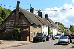
To the north of the village is a children's playground, cricket pitch and football pitch with clubhouse. To the north of that a small orchard of apple, pear and plum trees has been planted. Many of the thatched cottages in the village are listed buildings.[6]
References
- "Parish Population Data". Dorset County Council. 20 January 2015. Retrieved 8 February 2015.
- "Neighbourhood Statistics. Area: Winterborne Stickland (Parish). Key Figures for 2011 Census: Key Statistics". Office for National Statistics. Retrieved 18 November 2013.
- Roland Gant (1980). Dorset Villages. Robert Hale Ltd. p. 78. ISBN 0 7091 8135 3.
- "Domesday Book". opendomesday.org. Retrieved 25 March 2020.
- "Church of St Mary, Winterborne Stickland". British Listed Buildings. Retrieved 26 August 2016.
- "Listed Buildings in Winterborne Stickland, Dorset, England". British Listed Buildings. Retrieved 26 August 2016.
External links
| Wikimedia Commons has media related to Winterborne Stickland. |
