Číčenice
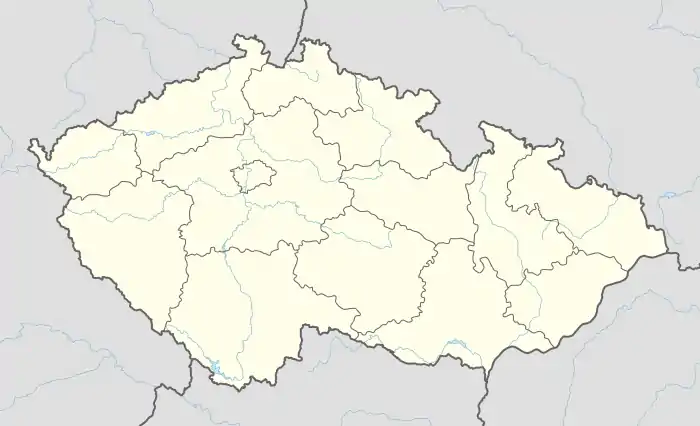
Číčenice is a village and municipality (obec) in Strakonice District in the South Bohemian Region of the Czech Republic.
Číčenice | |
|---|---|
Municipality | |
%252C_statek.jpg.webp) | |
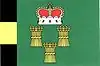 Flag 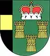 Coat of arms | |
 Číčenice | |
| Coordinates: 49°9′17″N 14°13′28″E | |
| Country | |
| Region | South Bohemian |
| District | Strakonice |
| Area | |
| • Total | 11.97 km2 (4.62 sq mi) |
| Elevation | 484 m (1,588 ft) |
| Population | |
| • Total | 454 |
| • Density | 38/km2 (98/sq mi) |
| Postal code | 389 01 |
| Website | http://cicenice.cz |
The municipality covers an area of 11.97 square kilometres (4.62 sq mi), and has a population of 454.
Číčenice lies approximately 27 kilometres (17 mi) south-east of Strakonice, 28 km (17 mi) north-west of České Budějovice, and 105 km (65 mi) south of Prague.
History
The first written mention of Čičenice dates back to 1335.
This article is issued from Wikipedia. The text is licensed under Creative Commons - Attribution - Sharealike. Additional terms may apply for the media files.