1902 Turkestan earthquake
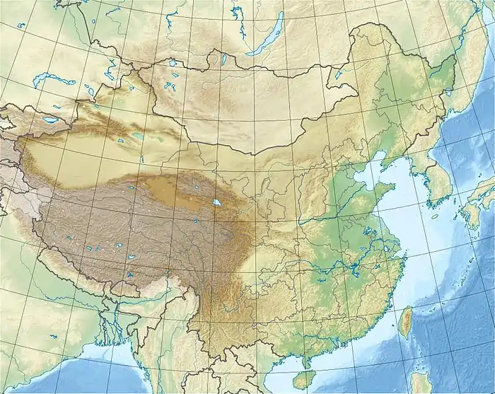
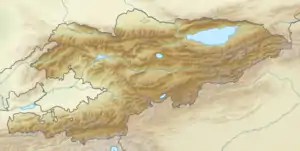
The 1902 Turkestan earthquake (Chinese: 土耳其斯坦地震, Pinyin: Tǔ'ěrqí sītǎn dìzhèn / Kyrgyz: Түркстандагы жер титирөө, Rom: Türkstandagı jer titiröö) , also known as the Kashgar earthquake (Chinese: 喀什地震, Pinyin: Kāshén dìzhèn / Kyrgyz: Кашкардагы жер титирөө, Rom: Kaşkardagı jer titiröö) or Atusushi earthquake was a devastating seismic event that struck the western part of Xinjiang, an autonomous territory in China, near the border with Kyrgyzstan. It occurred on August 22, 1902, at about 8:00 or 9:00 am local time. At least 2,500 people were killed, with many more injured. The earthquake registered 7.7 on the moment magnitude scale. It is the most powerful earthquake in that region, and in Kyrgyzstan, along with the 1911 Kermin earthquake.[1][2][3]
  | |
| UTC time | 1902-08-22 03:00:00 |
|---|---|
| ISC event | 16957769 |
| USGS-ANSS | ComCat |
| Local date | August 22, 1902 |
| Magnitude | 7.7 Mw 8.3 Ms |
| Depth | 0 km (0 mi) |
| Epicenter | 40.000°N 77.000°E |
| Areas affected | China & Kyrgyzstan |
| Max. intensity | XI (Extreme) |
| Casualties | 2,500-25,00 dead |
Tectonic setting
The geological forces at play around Kyrgyzstan and Xinjiang are directly related to the ongoing collision of the Indian Plate into the Eurasian Plate.[4] The topography of this region is influenced by broad crustal deformation as a result of convergence along the Main Himalayan Thrust. Before the Indian subcontinent collided with Eurasia, there were island arcs and microcontinents that were also converging. These terranes were later accreted to Eurasia as India closed the gap with Eurasia, and are now in present-day Central Asia. Ancient suture zones mark the boundary between these accreted terranes. This deformation and accretion led to the formation of the Tien Shan mountains, which are moving 7±2 mm/yr towards the south along faults running along its base.[4] The region is dominated by large, north and south-dipping thrust faults along the southern base of the Tien Shan mountains, and the northern boundary of the Tarim basin, one of them being the Aheqi Fault Zone.[4]
Earthquake
While scientific knowledge of the event is rather sparse, due to the period in which it happened, research has given new insights into the earthquake of August 22, 1902. In a 2017 research, the earthquake was determined to have occurred at a depth of 18 km with the epicenter coordinates at 39.87° N 76.42° E, instead of most global event catalogs which place the epicenter coordinates at 40.0° N 77.00° E. The earthquake magnitude was also recalculated to be 7.7, while older figures presented magnitude 8.3 (written as 8.25) or 8.6.[5]
Thrust faulting was the culprit of this event, involving a rupture on the Ttiotegongbaizi-Aerpaleike Fault located at the southern flanks of the Tien Shan range.[6][7] This fault is 200 km long, and expresses itself like a gentle wave-shape. It dips north at varying angles of 25° to 60°. It was this fault that was responsible for an Mwc 6.3 earthquake that killed some 26 people in March 1996.[8][9]
Apparently, no surface ruptures were produced thus suggesting that the event may have been a blind thrust earthquake. It had a maximum intensity of X to XI (Extreme) on the Mercalli intensity scale, and X on the Rossi-Forel scale.[6]
Damage and casualties
The earthquake struck at 8:00 am on August 22, lasting for one and a half minutes, and reported to be extremely violent. Severe aftershocks were felt every day up till August 30. The mainshock was said to have been recorded on seismographs in Europe.[10]
In the villages of Shizijie, Bajiahu, Niujuanzi, Zhuanglangmiao, Xidatang, Shichang, in Boluotonggu, and the mountain areas around Dazimiao and Reshuiquanzi, many wood and mud houses collapsed while those that remained intact were tilted. More than 2,000 homes were destroyed, resulting in more than 280 people dying. Many temples were also completely destroyed. Surface fissures tore through the ground, ranging from 0.2 meters to one meter wide, and up to several kilometers long. The earthquake also triggered landslides and opened wide cracks near the mountains.[11]
In Kashgar, the mainshock collapsed sun-dried brick walls and collapsing homes, resulting in 16 deaths. Masonry buildings however did not sustain serious damage.[10]
The Artush district north of Kashgar suffered more devastating consequences. The earthquake collapsed almost every house in the area. Some 667 people were killed, and thousands more injured.[10]
The village of Astyn saw 400 fatalities, and in Jangi, 20 fatalities.[12]
In Yarkand, there was less serious damage to the city, but two children lost their lives due to collapsing walls. There was also damage being reported in Narin and Atbashi with no deaths recorded.[10]
In total, some 2,500 people were killed, however, the death toll may have been high as 20,000.[13][14][15]
References
- B. Gutenberg (1956). "Great earthquakes 1896–1903". Eos, Transactions American Geophysical Union.
- "M 7.7 - Kyrgyzstan-Xinjiang border region". earthquake.usgs.gov. Retrieved 2021-02-04.
- "M 7.7 - eastern Kazakhstan". earthquake.usgs.gov. Retrieved 2021-02-04.
- Bihong Fu, Yoshiki Ninomiya, Jianming Guo (2010). "Slip partitioning in the northeast Pamir–Tian Shan convergence zone" (PDF). Tectonophysics. 483: 344–364.CS1 maint: multiple names: authors list (link)
- J. P. Avouac P. Tapponnier M. Bai H. You G. Wang (1993). "Active Thrusting and Folding Along the Northern Tien Shan and Late Cenozoic Rotation of the Tarim relative to Dzungaria and Kazakhstan" (PDF). JOURNAL OF GEOPHYSICAL RESEARCH. 98 (B4): 675–804. doi:10.1029/92JB01963.
- Kulikova, G., Krüger, F. "Historical seismogram reproductions for the source parameters determination of the 1902, Atushi (Kashgar) earthquake". Journal of Seismology. 21: 1577–1597. doi:10.1007/s10950-017-9683-z.CS1 maint: multiple names: authors list (link)
- Rui-bin Zhao, Jun Li & Jun Shen (2000). "The preliminary study on active faults and paleoearthquakes in the north fringe of Kashi depression". Acta Seismologica Sinica. 13: 351–355. doi:10.1007/s11589-000-0045-4.
- Reuters Staff (12 May 2008). "TIMELINE: China's major earthquakes". Reuters. Retrieved 4 Feb 2021.
- "M 6.3 - southern Xinjiang, China". earthquake.usgs.gov. Retrieved 2021-02-04.
- "The Turkestan Earthquake of August 22". Scottish Geographical Notes (1). 1902.
- "NCEI Global Historical Hazard Database". www.ngdc.noaa.gov. Retrieved 2021-02-04.
- "Terrible earthquake in Turkestan". MANAWATU STANDARD. XL (7454). 20 Nov 1902. p. 2. Retrieved 4 Feb 2021.
- "EARTHQUAKE IN TURKESTAN KILLS OVER TWO THOUSAND". Mercury-register. XLI (132). 23 Dec 1902.
- "EARTHQUAKE KILLS 4,000; Appalling Catastrophe at Andijan in Russian Turkestan. Area of Disturbance Comprises Two Hundred Square Versts -- 800 Corpses Already Recovered -- Suffering Among the Homeless". The New York Times. 24 Dec 1902.
- "Turkestan earthquake". The Sunday Times. 28 Dec 1902. Retrieved 4 Feb 2021.