1932 Cedar Mountain earthquake
The Cedar Mountain earthquake of 1932 was one of the largest seismic events in the US state of Nevada. The 7.2 magnitude earthquake struck at the base of Cedar Mountain in Western Nevada. Shaking from this earthquake was felt as far as Oregon, Southern California, and the Rocky Mountains area. Nevada is the third most seismically active state in the United States due to ongoing rifting occurring within the North American Plate. Extension or thinning of the crust has resulted in numerous faults accommodating strain, at the same time, producing earthquakes.[1] Since the earthquake took place in a remote area of the state, there were slight damages but no deaths were reported.
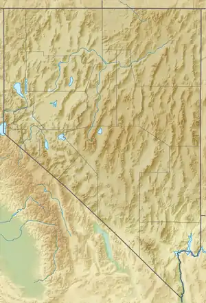 Winnemucca Battle Mountain Lovelock | |
| UTC time | 1932-12-21 06:10:10 |
|---|---|
| ISC event | 906508 |
| USGS-ANSS | ComCat |
| Local date | December 20, 1932 |
| Magnitude | 7.2 Mw |
| Depth | 10.0 km |
| Epicenter | 38.631°N 117.910°W |
| Fault | Central Nevada Seismic Belt, Walker Lane Seismic Zone |
| Type | Strike-slip (dextral) |
| Areas affected | Nevada, United States |
| Total damage | Limited |
| Max. intensity | XII (Extreme) |
| Casualties | Some injured |
Earthquake
The earthquake occurred along a zone of strike-slip faults creating surface ruptures 60 km long by six to 14 km wide, trending southeast from the epicenter.[2][3] Rupture was distributed across faults spanning three valleys and several mountain fronts including the Stewart-Monte Cristo Valley Fault Zone, and several small, unnamed faults in the Stewart and Gabbs Valleys. Maximum displacement was recorded at 2.7 meters, with some dip-slip (normal) offset at 0.5 meters.[2][4] During the earthquake, many eyewitness reported lightning bolts and "mysterious lights" in Carson Valley. Shaking reached the maximum of XII on the Mercalli intensity scale in Nevada, and overall, was felt for an area size of 850,000 square km.[2][5] This complicated strike-slip earthquake between two mountain ranges was similar to that of the Owens Valley earthquake of 1872.
Impact
At the time of the earthquake, the region was uninhabited however, an adobe and stone cabin were destroyed with no injuries. Some damage to mine property and cabins were seen.[6] At Mina, Hawthorne and Luning, the earthquake collapsed chimneys and shattered windows. Chimney damage were also reported in Fallon and the Reese River Valley. In Rhodes, a man suffered a fractured skull when the earthquake threw him against a train engine.[7] The shaking created panic in Carson City, Virginia City, Reno and even in Sacramento, California.[7]
References
- Price, Jon (2004). "Geology of Nevada" (PDF). University of Nevada, Reno. Retrieved 29 November 2020.
- DEPOLO, CLARK, SLEMMONS, RAMELLI, CRAIG M., DOUGLAS G., D. BURTON, ALAN R. (20 June 1990). "Historical surface faulting in the Basin and Range province, western North America: implications for fault segmentation". Journal of Structural Geology. 13: 128.CS1 maint: multiple names: authors list (link)
- Molinari, Mark Philip (December 1984). "LATE CENOZOIC GEOLOGY AND TECTONICS OF STEWART AND MONTE CRISTO VALLEYS, WEST - CENTRAL NEVADA" (PDF). dissertation – via University of Nevada, Reno.
- J.W. Bell, C.M. DePolo, A.R. Ramelli, A. M. Sarna-Wojcicki, and C.E. Meyer. "Surface faulting and paleoseismic history of the 1932 Cedar Mountain earthquake area, west-central Nevada, and implications for modern tectonics of the Walker Lane". Geological Society of America Bulletin – via US Geological Survey.CS1 maint: multiple names: authors list (link)
- "Significant Earthquake Information NEVADA: CEDAR MOUNTAIN". NOAA NCEI. Retrieved 29 November 2020.
- "Earthquake History of Nevada". CarsonWeather.com. Retrieved 29 November 2020.
- "Nevada's Earthquake History" (PDF). shakeout.org. Retrieved 29 November 2020.