Abbotswood, Hampshire
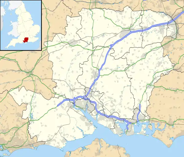
Abbotswood is a new 52-hectare building development planned to have 800 homes. It is located just to the north east of the town of Romsey in the Test Valley local government district.[1]
| Abbotswood | |
|---|---|
.jpg.webp) Children's playground and new housing on the Abbotswood development | |
 Abbotswood Location within Hampshire | |
| OS grid reference | SU366231 |
| District | |
| Shire county | |
| Region | |
| Country | England |
| Sovereign state | United Kingdom |
| Police | Hampshire |
| Fire | Hampshire |
| Ambulance | South Central |
History
The name 'Abbotswood' is derived from 'the abbess [of Romsey]’s wood'; it was recorded as Abbys wode in 1513 and Abbes wood in 1565.[2]
New development
Outline permission for a new development comprising 800 homes on a site at Abbotswood was granted in 2010. Construction began in 2011 and by the end of 2017, 753 homes were occupied.[3]
.jpg.webp)
New homes nearing completion on the Abbotswood development
On 1 August 2014, planning permission was sought for a local centre consisting of a shop, pub, doctors/dentists surgery, pharmacy, community centre, and a day nursery. The planning application reference is 14/01836/RESS.[4]
References
- "The Abbotswood Consortium". Alder King. Archived from the original on 2 April 2015. Retrieved 22 October 2016.
- Watts, Victor (2007). The Cambridge Dictionary of English Place-Names. Cambridge University Press. p. 1. ISBN 978-0521168557.
- "Abbotswood". Test Valley Borough Council. Retrieved 13 August 2020.
- "View Applications Online • Test Valley Borough Council". Testvalley.gov.uk. Archived from the original on 14 October 2016. Retrieved 22 October 2016.
This article is issued from Wikipedia. The text is licensed under Creative Commons - Attribution - Sharealike. Additional terms may apply for the media files.
