Upper Clatford
Upper Clatford is a village and civil parish in Hampshire, England.[2] The village is in the valley of the River Anton, 3.5 miles (5.6 km) upstream from the point where it joins the River Test at the south.
| Upper Clatford | |
|---|---|
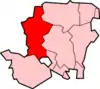
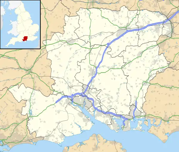 Upper Clatford Location within Hampshire | |
| Population | 1,652 (2011 Census including Red Rice)[1] |
| OS grid reference | SU3533643887 |
| District | |
| Shire county | |
| Region | |
| Country | England |
| Sovereign state | United Kingdom |
| Post town | ANDOVER |
| Postcode district | SP11 |
| Police | Hampshire |
| Fire | Hampshire |
| Ambulance | South Central |
| UK Parliament | |
Clatford is 1 mile (1.6 km) to the south from Andover town centre, the most direct route the old railway line which is now a public footpath. Along this path is evidence of the old railway line although little is seen of the earlier canal that preceded the railway.[3] The canal and later railway were important to the local economy, in particular for the transport of raw materials from Southampton via Andover to Upper Clatford for Taskers of Andover, whose premises were in nearby Anna Valley. Pig Iron was shipped from Southampton via the canal to Taskers Wharf, originally where the footpath now leaves Upper Clatford for Andover. The road south out of the village leads to the twin village of Goodworth Clatford (formerly Lower Clatford).
Clatford is an old English term meaning 'the ford where the burdock grows'. The village historically contained four manors: Norman Court, Sackville Court, Clatford Manor and Clatford Mills.
Stephen Hopkins, passenger on the Mayflower and one of the signatories of the Mayflower Compact, was baptized at Clatford.[4]
Significant buildings at Clatford include thatched cottages and houses including the local public house The Crook and Shears, and the local parish church of All Saints, which was first built probably during the reign of Henry I (1100-1135). It was rebuilt in the sixteenth century and transformed into an 'auditory church' in the seventeenth. The Church sits between two arms of the Pillhill Brook; the village war memorial is within its grounds.
References
- "Civil Parish population 2011". Neighbourhood Statistics. Office for National Statistics. Retrieved 5 January 2017.
- Ordnance Survey: Landranger map sheet 185 Winchester & Basingstoke (Andover & Romsey) (Map). Ordnance Survey. 2013. ISBN 9780319228845.
- "Andover's lost canal". www.andover.towncentral.co.uk. Archived from the original on 6 July 2008. Retrieved 8 April 2016.
- Robert Charles Anderson, New England Historical Genealogical Society (NEHGS) Pilgrim Family Sketch Stephen Hopkins Archived 16 August 2011 at the Wayback Machine
External links
- Taskers of Andover - A History
 Media related to Upper Clatford at Wikimedia Commons