Ain Arnat Airport
Ain Arnat Airport (IATA: QSF, ICAO: DAAS), also known as Sétif International Airport, is an airport serving Sétif, Algeria. The airport was opened in 1945. The Setif VOR-DME (Ident: STF) is located 1.22 nautical miles (2.3 km) off the approach end of Runway 09.[3]
Ain Arnat Airport Sétif International Airport | |||||||||||
|---|---|---|---|---|---|---|---|---|---|---|---|
.jpg.webp) | |||||||||||
| Summary | |||||||||||
| Airport type | Public | ||||||||||
| Operator | EGSA-Constantine | ||||||||||
| Serves | Sétif, Algeria | ||||||||||
| Elevation AMSL | 3,330 ft / 1,015 m | ||||||||||
| Coordinates | 36°10′40″N 05°19′45″E | ||||||||||
| Map | |||||||||||
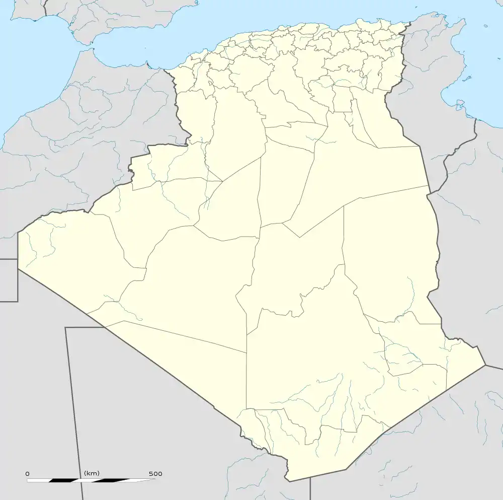
 QSF Location of airport in Algeria | |||||||||||
| Runways | |||||||||||
| |||||||||||
Airlines and destinations
| Airlines | Destinations |
|---|---|
| Air Algérie | Algiers, Lyon, Paris–Orly |
| Tassili Airlines | Algiers,[4] Oran |
| Transavia | Paris–Orly[5] |
References
- Google Maps - Ain Arnat
- SkyVector - Setif Airport
- "Setif VOR". skyvector.com. Retrieved 2018-02-02.
- Tassili Setif service
- Liu, Jim. "Air France / Transavia France S20 Algeria network expansion". Routesonline. Retrieved 28 February 2020.
External links
- OurAirports - Ain Arnat
- Great Circle Mapper - Ain Arnat
- Setif International Airport
- Current weather for DAAS at NOAA/NWS
This article is issued from Wikipedia. The text is licensed under Creative Commons - Attribution - Sharealike. Additional terms may apply for the media files.
