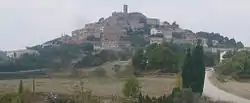
Argençola
Argençola (Catalan pronunciation: [əɾʒənˈsɔlə]) is a municipality in the comarca of the Anoia in Catalonia, Spain. It is situated in the east of the comarca, bordering the Segarra and the Conca de Barberà. The Anoia river has its source on the territory of the municipality. A local road links the municipality with the main N-II road from Barcelona to Lleida.
Argençola | |
|---|---|
 | |
 Coat of arms | |
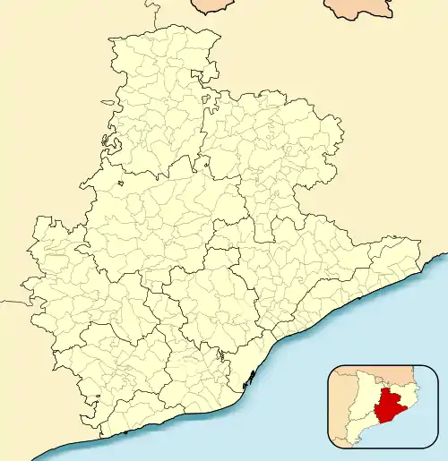 Argençola Location in Catalonia 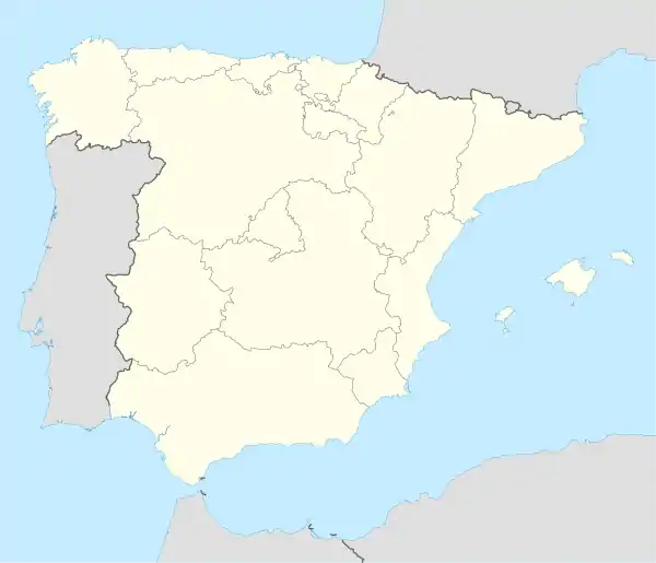 Argençola Argençola (Spain) | |
| Coordinates: 41°35′54″N 1°26′37″E | |
| Country | |
| Community | |
| Province | Barcelona |
| Comarca | Anoia |
| Government | |
| • Mayor | Antoni Lloret Grau (2015)[1] |
| Area | |
| • Total | 47.1 km2 (18.2 sq mi) |
| Elevation | 716 m (2,349 ft) |
| Population (2018)[3] | |
| • Total | 219 |
| • Density | 4.6/km2 (12/sq mi) |
| Demonym(s) | Argençolenc, argençolenca |
| Website | www |
Demography
| 1900 | 1930 | 1950 | 1970 | 1986 | 2007 |
|---|---|---|---|---|---|
| 510 | 658 | 622 | 239 | 192 | 229 |
Subdivisions
The municipality of Argençola includes six outlying villages. Populations are given as of 2001:
- Carbasi (30), to the north-east of Argençola at an elevation of 775 m
- Clariana (36), to the east of Argençola, with ruins of Clariana castle
- Contrast (18), to the south-east of Argençola
- Els Plans de Ferran (7)
- Porquerisses i Aberells (41), to the north of Argençola
- Rocamora (8), to the west of Argençola
References
- "Ajuntament d'Argençola". Generalitat of Catalonia. Retrieved 2015-11-13.
- "El municipi en xifres: Argençola". Statistical Institute of Catalonia. Retrieved 2015-11-23.
- Municipal Register of Spain 2018. National Statistics Institute.
External links
- Official website
- Government data pages (in Catalan)
Places adjacent to Argençola | |
|---|---|
.svg.png.webp)
This article is issued from Wikipedia. The text is licensed under Creative Commons - Attribution - Sharealike. Additional terms may apply for the media files.