Sant Vicenç dels Horts
Sant Vicenç dels Horts is a municipality in the Province of Barcelona in Catalonia, Spain. It is situated on the right bank of the Llobregat river, on the N-340 road from Molins de Rei to Vilafranca del Penedès. The main rail lines of the Llobregat corridor pass through the town: the station is served by the FGC services S4, S7, S8, S33, R5 and R6. The remains of an Iberic village are visible at Puig Castellar.
Sant Vicenç dels Horts | |
|---|---|
 Town hall | |
 Flag  Coat of arms | |
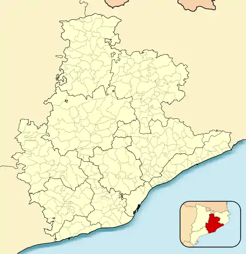 Sant Vicenç dels Horts Location within Spain 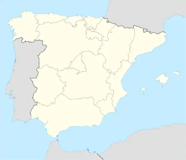 Sant Vicenç dels Horts Sant Vicenç dels Horts (Spain) | |
| Coordinates: 41°23′43″N 2°0′39″E | |
| Country | |
| Community | |
| Province | Barcelona |
| Comarca | Baix Llobregat |
| Government | |
| • Mayor | Maite Aymerich i Boltà (2015)[1] (ERC) |
| Area | |
| • Total | 9.1 km2 (3.5 sq mi) |
| Elevation | 22 m (72 ft) |
| Population (2018)[3] | |
| • Total | 27,901 |
| • Density | 3,100/km2 (7,900/sq mi) |
| Website | www |
Demography
| 1900 | 1930 | 1950 | 1970 | 1986 | 2002 |
|---|---|---|---|---|---|
| 1809 | 1919 | 3295 | 14,509 | 20,397 | 26,008 |
References
- "Ajuntament de Sant Vicenç dels Horts". Generalitat of Catalonia. Retrieved 2015-11-13.
- "El municipi en xifres: Sant Vicenç dels Horts". Statistical Institute of Catalonia. Retrieved 2015-11-23.
- Municipal Register of Spain 2018. National Statistics Institute.
External links
- Government data pages (in Catalan)
Places adjacent to Sant Vicenç dels Horts | |
|---|---|
.svg.png.webp)
| Authority control |
|---|
This article is issued from Wikipedia. The text is licensed under Creative Commons - Attribution - Sharealike. Additional terms may apply for the media files.