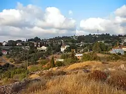
Beit Meir
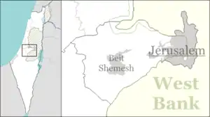
Beit Meir (Hebrew: בֵּית מֵאִיר, lit. House of Meir) is a religious moshav in central Israel. Located in the Jerusalem hills around nine miles from Jerusalem, just off the Jerusalem-Tel Aviv highway, it falls under the jurisdiction of Mateh Yehuda Regional Council. In 2019 it had a population of 878.[1]
Beit Meir
בֵּית מֵאִיר بيت مئير | |
|---|---|
 | |
 Beit Meir 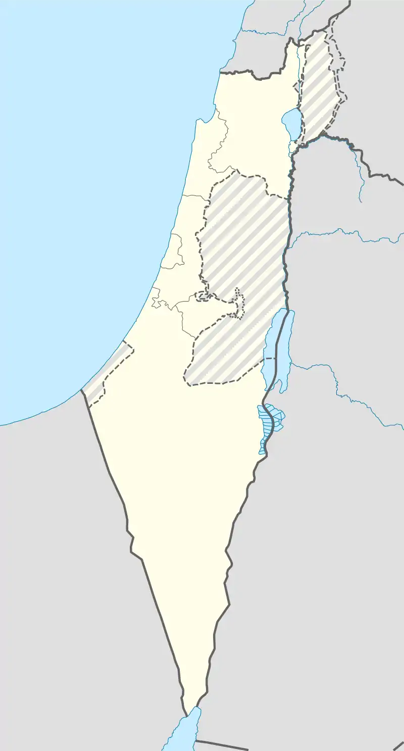 Beit Meir | |
| Coordinates: 31°47′39″N 35°2′14″E | |
| Country | |
| District | Jerusalem |
| Council | Mateh Yehuda |
| Affiliation | Hapoel HaMizrachi |
| Founded | 1950 |
| Population (2019)[1] | 878 |
History
The moshav was established on the land of the depopulated Palestinian village of Bayt Mahsir in 1950,[2][3] and was named after Rabbi Meir Bar-Ilan.[4]
Landmarks
- Hamasrek Nature Reserve[5]
- Yeshivat Ohr Yerushalayim, a yeshiva for American post high-school students headed by Rabbi D. Schecter.[6]
References
- "Population in the Localities 2019" (XLS). Israel Central Bureau of Statistics. Retrieved 16 August 2020.
- Morris, Benny (2004). The Birth of the Palestinian Refugee Problem Revisited. Cambridge University Press. p. xxi. ISBN 978-0-521-00967-6.
- Khalidi, Walid (1992), All That Remains: The Palestinian Villages Occupied and Depopulated by Israel in 1948, Washington D.C.: Institute for Palestine Studies, p. 277, ISBN 0-88728-224-5
- Meir Bar-Ilan (1880-1949) Jewish Agency for Israel
- From Shoeva Junction to the Masrek Nature Reserve
- Yeshivat Ohr Yerushalayim
This article is issued from Wikipedia. The text is licensed under Creative Commons - Attribution - Sharealike. Additional terms may apply for the media files.