Bier, Maryland
Bier is an unincorporated community and census-designated place (CDP) in Allegany County, Maryland, United States.[1] As of the 2010 census, it had a population of 173.[2]
Bier, Maryland | |
|---|---|
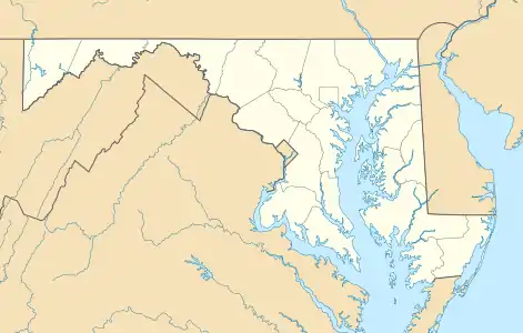 Bier Location within the State of Maryland  Bier Bier (the United States) | |
| Coordinates: 39°32′31″N 78°52′33″W | |
| Country | |
| State | |
| County | |
| Area | |
| • Total | 1.5 sq mi (3.8 km2) |
| • Land | 1.5 sq mi (3.8 km2) |
| • Water | 0 sq mi (0 km2) |
| Elevation | 751 ft (229 m) |
| Population (2010) | |
| • Total | 173 |
| • Density | 119/sq mi (45.8/km2) |
| Time zone | UTC−5 (Eastern (EST)) |
| • Summer (DST) | UTC−4 (EDT) |
| FIPS code | 24-07285 |
| GNIS feature ID | 2583582 |
It is located along U.S. Route 220, 10 miles (16 km) southwest of Cumberland and 10 miles (16 km) northeast of Keyser, West Virginia.
References
- "Geographic Names Information System". Bier (Populated Place). U.S. Geological Survey. 2009-01-29.
- "Geographic Identifiers: 2010 Demographic Profile Data (G001): Bier CDP, Maryland". U.S. Census Bureau, American Factfinder. Archived from the original on February 12, 2020. Retrieved May 23, 2013.
Municipalities and communities of Allegany County, Maryland, United States | ||
|---|---|---|
| Cities |  | |
| Towns | ||
| CDPs |
| |
| Other communities | ||
| ||
This article is issued from Wikipedia. The text is licensed under Creative Commons - Attribution - Sharealike. Additional terms may apply for the media files.