Detmold, Maryland
Detmold is an unincorporated community and census-designated place (CDP) in Allegany County, Maryland, United States.[1] As of the 2010 census it had a population of 71.[2]
Detmold, Maryland | |
|---|---|
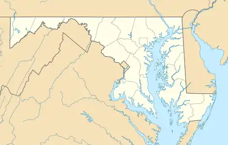 Location within the State of Maryland  Detmold, Maryland (the United States) | |
| Coordinates: 39°33′15″N 78°59′22″W | |
| Country | |
| State | |
| County | |
| Area | |
| • Total | 0.2 sq mi (0.4 km2) |
| • Land | 0.2 sq mi (0.4 km2) |
| • Water | 0 sq mi (0 km2) |
| Elevation | 1,410 ft (430 m) |
| Population (2010) | |
| • Total | 71 |
| • Density | 454/sq mi (175.2/km2) |
| Time zone | UTC-5 (Eastern (EST)) |
| • Summer (DST) | UTC-4 (EDT) |
| FIPS code | 24-22825 |
| GNIS feature ID | 2583608 |
Detmold is in western Allegany County along Maryland Route 36, which leads north 9 miles (14 km) to Frostburg and 7 miles (11 km) south to Westernport. The town is in the valley of Georges Creek between two high ridges: Big Savage Mountain to the northwest, and Dans Mountain to the southeast. The Town is named for Christian Edward Detmold of Lonaconing Iron Furnace fame. It is south of Lonaconing, along Route 36. It had a population of 71 in 2010.
References
- "Geographic Names Information System". Detmold (Populated Place). U.S. Geological Survey. 2009-01-29.
- "Geographic Identifiers: 2010 Demographic Profile Data (G001): Detmold CDP, Maryland". U.S. Census Bureau, American Factfinder. Archived from the original on February 12, 2020. Retrieved May 24, 2013.
Municipalities and communities of Allegany County, Maryland, United States | ||
|---|---|---|
| Cities | 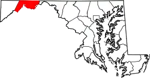 | |
| Towns | ||
| CDPs |
| |
| Other communities | ||
| ||
This article is issued from Wikipedia. The text is licensed under Creative Commons - Attribution - Sharealike. Additional terms may apply for the media files.