Big Sandy, West Virginia
Big Sandy is a census-designated place (CDP) located in McDowell County, West Virginia, United States. As of the 2010 census, its population is 168.[2] The town's name comes from the Big Sandy River, a major tributary of the Ohio River which forms the boundary between West Virginia and Kentucky.
Big Sandy | |
|---|---|
Census-designated place (CDP) | |
 Davy Roderfield Road in Big Sandy | |
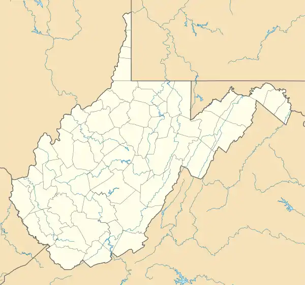 Big Sandy Location within the state of West Virginia | |
| Coordinates: 37°27′51″N 81°41′53″W | |
| Country | United States |
| State | West Virginia |
| County | McDowell |
| Area | |
| • Total | 0.553 sq mi (1.43 km2) |
| • Land | 0.532 sq mi (1.38 km2) |
| • Water | 0.021 sq mi (0.05 km2) |
| Population | |
| • Total | 168 |
| • Density | 300/sq mi (120/km2) |
| Time zone | UTC-5 (Eastern (EST)) |
| • Summer (DST) | UTC-4 (EDT) |
References
- "US Gazetteer files: 2010, 2000, and 1990". United States Census Bureau. 2011-02-12. Retrieved 2011-04-23.
- "U.S. Census website". United States Census Bureau. Retrieved 2011-05-14.
External links
Municipalities and communities of McDowell County, West Virginia, United States | ||
|---|---|---|
| Cities | 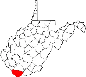 Map of West Virginia highlighting McDowell County | |
| Towns | ||
| CDPs | ||
| Unincorporated communities |
| |
| Ghost town | ||
| Footnotes | ‡This populated place also has portions in an adjacent county or counties | |
| ||
This article is issued from Wikipedia. The text is licensed under Creative Commons - Attribution - Sharealike. Additional terms may apply for the media files.