Bor Airport (South Sudan)
Bor Airport | |||||||||||
|---|---|---|---|---|---|---|---|---|---|---|---|
.jpg.webp) Bor Airport seen from the air. | |||||||||||
| Summary | |||||||||||
| Airport type | Public, Civilian | ||||||||||
| Owner | Civil Aviation Authority of South Sudan | ||||||||||
| Serves | Bor, South Sudan | ||||||||||
| Location | Bor, | ||||||||||
| Elevation AMSL | 1,335 ft / 407 m | ||||||||||
| Coordinates | 06°11′47″N 31°36′05″E | ||||||||||
| Map | |||||||||||
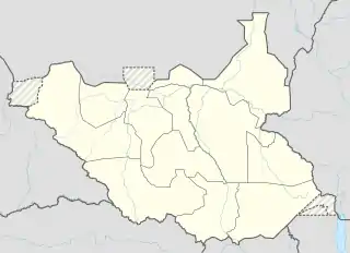 Bor Location of Bor Airport in South Sudan | |||||||||||
| Runways | |||||||||||
| |||||||||||
Sources:[1] | |||||||||||
Bor Airport is an airport in South Sudan.
Location
Bor Airport (IATA: n/a, ICAO: HSBR) is located in Bor South County, Jonglei State, in central South Sudan, near the town of Bor. The airport is located about 8 kilometres (5.0 mi), by road, southeast of Bor's central business district.
This location lies approximately 150 kilometres (93 mi), by air, north of Juba International Airport, the largest airport in South Sudan.[2] The geographic coordinates of this airport are: 6° 11' 24.00"N, 31° 36' 0.00"E (Latitude: 6.1900; Longitude: 31.6000). Bor Airport sits at an elevation of 407 metres (1,335 ft) above sea level. The airport has a single 1280-meter long unpaved runway.
Overview
Bor Airport is a small civilian airport that serves the town of Bor and surrounding communities.
References
- "Airport information for HSBR". Archived from the original on 2016-03-04. Retrieved 2017-05-15.
- "Distance between Juba () (Airport) and Mading (Al Buhayrat) (Sudan)". distancecalculator.globefeed.com. Retrieved 2018-08-24.
External links
State capital: Bor | ||
| Populated places | 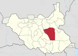 | |
| Universities | ||
| Airports | ||
| Other | ||