Bruyères-le-Châtel
Bruyères-le-Châtel (French: [bʁyjɛʁ.lǝ.ʃatɛl] (![]() listen)) is a commune in the Essonne department in Île-de-France in northern France.
listen)) is a commune in the Essonne department in Île-de-France in northern France.
Bruyères-le-Châtel | |
|---|---|
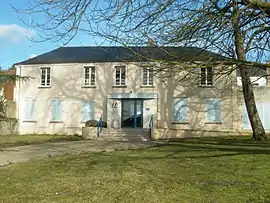 The town hall of Bruyères | |
.svg.png.webp) Coat of arms | |
Location of Bruyères-le-Châtel 
| |
 Bruyères-le-Châtel 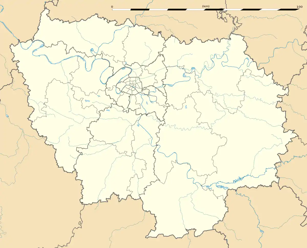 Bruyères-le-Châtel | |
| Coordinates: 48°35′37″N 2°11′33″E | |
| Country | France |
| Region | Île-de-France |
| Department | Essonne |
| Arrondissement | Palaiseau |
| Canton | Arpajon |
| Intercommunality | CA Cœur d'Essonne |
| Government | |
| • Mayor (2008–2014) | Thierry Rouyer |
| Area 1 | 12.90 km2 (4.98 sq mi) |
| Population (2017-01-01)[1] | 3,302 |
| • Density | 260/km2 (660/sq mi) |
| Time zone | UTC+01:00 (CET) |
| • Summer (DST) | UTC+02:00 (CEST) |
| INSEE/Postal code | 91115 /91680 |
| Elevation | 48–168 m (157–551 ft) |
| 1 French Land Register data, which excludes lakes, ponds, glaciers > 1 km2 (0.386 sq mi or 247 acres) and river estuaries. | |
History
A nunnery was founded at Bruyères-le-Châtel by a noblewoman named Clotilde. The charter endowing the monastery is dated to 10 March 673 and is among the oldest original private charters which survive from Merovingian Francia.
Inhabitants of Bruyères-le-Châtel are known as Bruyérois.
See also
References
- "Populations légales 2017". INSEE. Retrieved 6 January 2020.
External links
| Wikimedia Commons has media related to Bruyères-le-Châtel. |
- Base Mérimée: Search for heritage in the commune, Ministère français de la Culture. (in French)
- Mayors of Essonne Association (in French)
| Authority control |
|---|
This article is issued from Wikipedia. The text is licensed under Creative Commons - Attribution - Sharealike. Additional terms may apply for the media files.