Saint-Sulpice-de-Favières
Saint-Sulpice-de-Favières is a commune in the Essonne department in Île-de-France in northern France, located in the metropolitan area of Paris.
Saint-Sulpice-de-Favières | |
|---|---|
_Mairie.jpg.webp) The town hall in Saint-Sulpice-de-Favières | |
Location of Saint-Sulpice-de-Favières 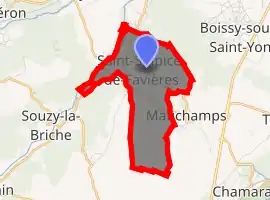
| |
 Saint-Sulpice-de-Favières 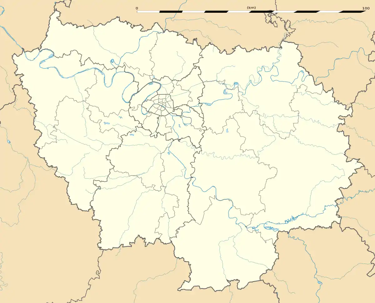 Saint-Sulpice-de-Favières | |
| Coordinates: 48°32′28″N 2°10′41″E | |
| Country | France |
| Region | Île-de-France |
| Department | Essonne |
| Arrondissement | Étampes |
| Canton | Dourdan |
| Intercommunality | Entre Juine et Renarde |
| Government | |
| • Mayor (2008–2014) | Pierre Le Floc'h |
| Area 1 | 4.37 km2 (1.69 sq mi) |
| Population (2017-01-01)[1] | 294 |
| • Density | 67/km2 (170/sq mi) |
| Time zone | UTC+01:00 (CET) |
| • Summer (DST) | UTC+02:00 (CEST) |
| INSEE/Postal code | 91578 /91910 |
| Elevation | 62–159 m (203–522 ft) |
| 1 French Land Register data, which excludes lakes, ponds, glaciers > 1 km2 (0.386 sq mi or 247 acres) and river estuaries. | |
Inhabitants of Saint-Sulpice-de-Favières are known as Saint-Sulpiciens.
Geography
Saint-Sulpice-de-Favières is located in the Renarde valley, 35 km (22 mi) South of Paris.
History
The previous name of the village is Favières from the Old French faveriis which itself is derived from the Latin fava (broad bean) meaning broad bean field.
Monuments
Saint-Sulpice church
The church was built during the 13th century and 14th century and is dedicated to Sulpice the Pious (ca 576-647), bishop of Bourges.
Segrez manor-house
The manor-house was built during the 18th century and hosted in 1884 one of the biggest arboretums of its time, the Arboretum de Segrez, with more than 6500 species of tree.
See also
References
- "Populations légales 2017". INSEE. Retrieved 6 January 2020.
External links
| Wikimedia Commons has media related to Saint-Sulpice-de-Favières. |
- Official website (in French)
- Website of the Domaine de Segrez
- Base Mérimée: Search for heritage in the commune, Ministère français de la Culture. (in French)
- Mayors of Essonne Association (in French)
| Authority control |
|
|---|