Itteville
Itteville is a commune in the Essonne department in Île-de-France in northern France.
Itteville | |
|---|---|
 The town hall of Itteville | |
.svg.png.webp) Coat of arms | |
Location of Itteville 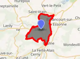
| |
 Itteville 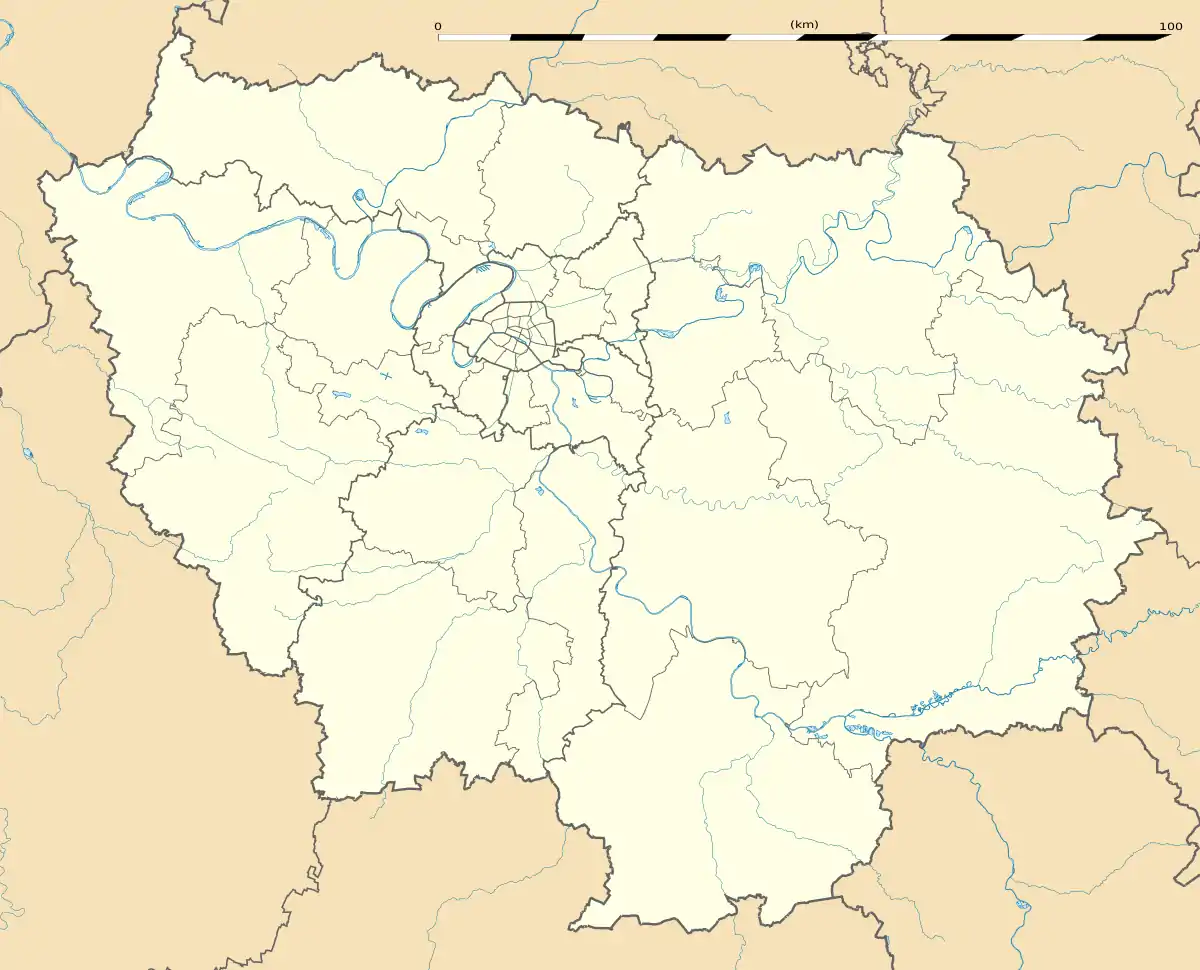 Itteville | |
| Coordinates: 48°30′55″N 2°20′30″E | |
| Country | France |
| Region | Île-de-France |
| Department | Essonne |
| Arrondissement | Étampes |
| Canton | Mennecy |
| Intercommunality | Val d'Essonne |
| Government | |
| • Mayor (2008–2014) | Alexandre Spada (PR) |
| Area 1 | 12.20 km2 (4.71 sq mi) |
| Population (2017-01-01)[1] | 6,585 |
| • Density | 540/km2 (1,400/sq mi) |
| Time zone | UTC+01:00 (CET) |
| • Summer (DST) | UTC+02:00 (CEST) |
| INSEE/Postal code | 91315 /91760 |
| Elevation | 47–141 m (154–463 ft) |
| 1 French Land Register data, which excludes lakes, ponds, glaciers > 1 km2 (0.386 sq mi or 247 acres) and river estuaries. | |
Inhabitants of Itteville are known as Ittevillois. Itteville's twin town has been Newick in the United Kingdom since 1988. The distance between both town is 320 kilometres (199 miles).
Origin of the town name
The original name of the commune comes from the Latin Ittae Villa meaning "Itte farm" referring to Itta of Nivelles, spouse of Pépin de Landen who built a farm. The commune was created in 1793 under the name of Itterville. The current orthography was introduced in 1801 in the law bulletin.
Geographical situation
The Juine forms the commune's northwestern and northern borders, then flows into the Essonne, which forms the commune's eastern border. Itteville is 38 kilometres (24 miles) south of Paris Notre Dame, point zero on French roads, 15 kilometres (9 miles) south west of Évry, 16 kilometres (10 miles) north east of Étampes, 3 kilometres (2 miles) north of La Ferté-Alais, 11 kilometres (7 miles) south east of Arpajon, 15 kilometres (9 miles) south east of Montlhéry, 15 kilometres (9 miles) south west of Corbeil-Essonnes, 16 kilometres (10 miles) north west of Milly-la-Forêt, 23 kilometres (14 miles) south east of Palaiseau and 24 kilometres (15 miles) east of Dourdan
See also
References
- "Populations légales 2017". INSEE. Retrieved 6 January 2020.
External links
| Wikimedia Commons has media related to Itteville. |
- Official website (in French)
- Base Mérimée: Search for heritage in the commune, Ministère français de la Culture. (in French)
- Mayors of Essonne Association (in French)
- website (in English)
| Authority control |
|
|---|