Saint-Cyr-la-Rivière
Saint-Cyr-la-Rivière is a commune in the Essonne department in Île-de-France in northern France.
Saint-Cyr-la-Rivière | |
|---|---|
 The school and town hall in Saint-Cyr-la-Rivière | |
.svg.png.webp) Coat of arms | |
Location of Saint-Cyr-la-Rivière 
| |
 Saint-Cyr-la-Rivière 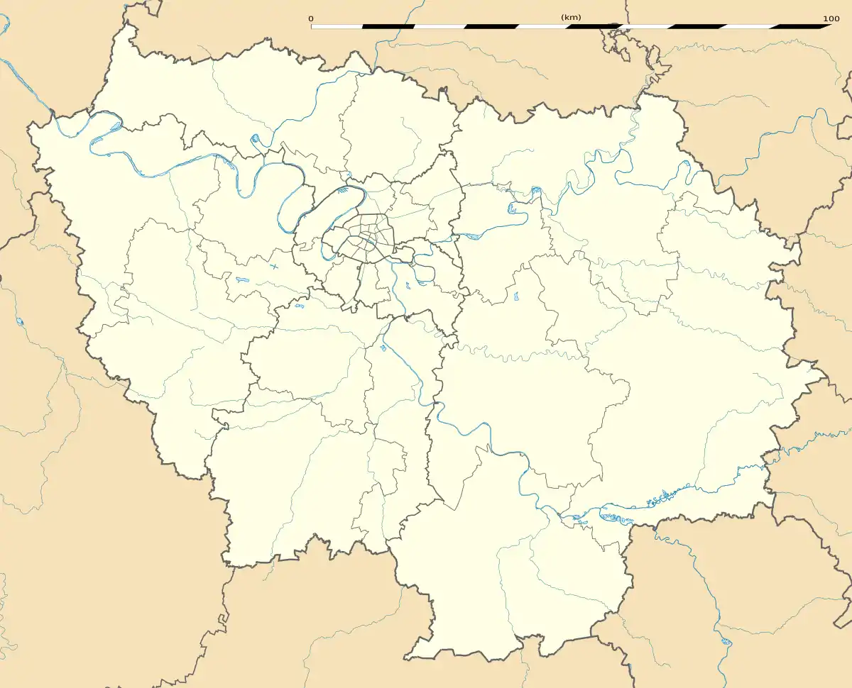 Saint-Cyr-la-Rivière | |
| Coordinates: 48°21′17″N 2°08′53″E | |
| Country | France |
| Region | Île-de-France |
| Department | Essonne |
| Arrondissement | Étampes |
| Canton | Étampes |
| Government | |
| • Mayor (2008–2014) | Michelle Blanchard |
| Area 1 | 8.81 km2 (3.40 sq mi) |
| Population (2017-01-01)[1] | 517 |
| • Density | 59/km2 (150/sq mi) |
| Time zone | UTC+01:00 (CET) |
| • Summer (DST) | UTC+02:00 (CEST) |
| INSEE/Postal code | 91544 /91690 |
| Elevation | 72–146 m (236–479 ft) |
| 1 French Land Register data, which excludes lakes, ponds, glaciers > 1 km2 (0.386 sq mi or 247 acres) and river estuaries. | |
Inhabitants of Saint-Cyr-la-Rivière are known as Saint-Cyriens.
Geography
The village lies on the left bank of the Éclimont, which forms the commune's northeastern border and flows into the Juine, which flows northeast through the northwestern part of the commune.
See also
References
- "Populations légales 2017". INSEE. Retrieved 6 January 2020.
External links
| Wikimedia Commons has media related to Saint-Cyr-la-Rivière. |
- Base Mérimée: Search for heritage in the commune, Ministère français de la Culture. (in French)
- Mayors of Essonne Association (in French)
| Authority control |
|---|
This article is issued from Wikipedia. The text is licensed under Creative Commons - Attribution - Sharealike. Additional terms may apply for the media files.