Burton Fleming
Burton Fleming is a village and civil parish in the East Riding of Yorkshire, England. It lies close to the border with North Yorkshire. The village is situated approximately 7 miles (11 km) north-west of Bridlington and 6 miles (10 km) south of Filey.
.JPG.webp)
| Burton Fleming | |
|---|---|
Apr2006.jpg.webp) Burton Fleming, looking south from the Church gate | |
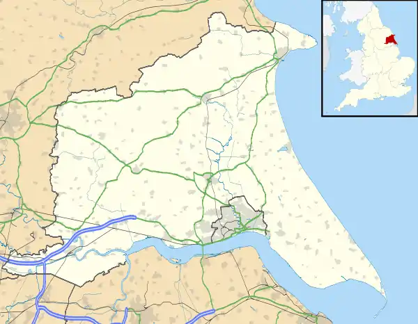 Burton Fleming Location within the East Riding of Yorkshire | |
| Population | 430 (2011 census)[1] |
| OS grid reference | TA083722 |
| • London | 160 mi (260 km) S |
| Civil parish |
|
| Unitary authority | |
| Ceremonial county | |
| Region | |
| Country | England |
| Sovereign state | United Kingdom |
| Post town | DRIFFIELD |
| Postcode district | YO25 |
| Dialling code | 01262 |
| Police | Humberside |
| Fire | Humberside |
| Ambulance | Yorkshire |
| UK Parliament | |
Burton Fleming was earlier known as North Burton.[2]
According to the 2011 UK census, Burton Fleming parish had a population of 430,[1] an increase on the 2001 UK census figure of 363.[3]
From the mediaeval era until the 19th century Burton Fleming was part of Dickering Wapentake.[4] Between 1894 and 1974 Burton Fleming was a part of the Bridlington Rural District, in the East Riding of Yorkshire.[5] Between 1974 and 1996 it was part of the Borough of North Wolds (later Borough of East Yorkshire), in the county of Humberside.
The village is noted for the house where Queen Henrietta Maria was sent into hiding during the English Civil War.[2] A significant British Iron Age cemetery—Burton Fleming archaeological site—consisting of 64 barrows forming part of the Arras Culture of the East Riding of Yorkshire was excavated here in the 1970s.[6]
The village Grade II* listed Anglican church is dedicated to St Cuthbert.[7] Dating from the 12th century, it previously had a Norman aisle to its nave; the aisle arcades are now evident as part of the exterior wall. The church retains a Norman south doorway and west tower.[8]
.jpg.webp)
The Gypsey Race flows through the village and through other neighbouring villages such as Wold Newton. In 2012 the village suffered serious flooding from the Gypsey Race.[9]
Burton Fleming has a public house, the Burton Arms, and a butcher's shop.
In March 2017, the village declared itself "hedgehog friendly".[10][11]
References
- UK Census (2011). "Local Area Report – Burton Fleming Parish (1170211157)". Nomis. Office for National Statistics. Retrieved 16 February 2018.
- "BURTON FLEMING:". Bulmer's History and Directory of East Yorkshire 1892. Retrieved 23 December 2015 – via Genuki.
- UK Census (2001). "Local Area Report – Burton Fleming Parish (1543504204)". Nomis. Office for National Statistics. Retrieved 6 December 2018.
- "Dickering-Wap through time". A Vision of Britain Through Time. University of Portsmouth. Retrieved 24 November 2019.
- "Bridlington RD". A Vision of Britain Through Time. University of Portsmouth. Archived from the original on 10 February 2012. Retrieved 11 April 2013.
- Stead, I. (1991). Iron Age Cemeteries in East Yorkshire. London: English Heritage. ISBN 1850743517.
- Historic England. "Church of St Cuthbert (1083394)". National Heritage List for England. Retrieved 16 April 2012.
- Pevsner, Nikolaus (1975) [1972]. The Buildings of England. Yorkshire: York and the East Riding. Pevsner Architectural Guides (reprint). Penguin. p. 212. ISBN 0140710434.
- "Residents still hit by flooding in Burton Fleming". BBC News. BBC. 28 December 2012. Retrieved 20 October 2013.
- "Burton Fleming declared 'hedgehog-friendly' village". BBC News. 28 March 2017. Retrieved 22 April 2017.
- "The village that made itself hedgehog friendly". BBC News. 22 April 2017. Retrieved 22 April 2017.
- Gazetteer — A–Z of Towns Villages and Hamlets. East Riding of Yorkshire Council. 2006. p. 4.
External links
 Media related to Burton Fleming at Wikimedia Commons
- Burton Fleming in the Domesday Book
