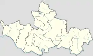
Chapakot Municipality
Chapakot (Nepali: चापाकोट) is a municipality in the southeastern part of Syangja District in Gandaki Pradesh of central Nepal. The new municipality was formed by merging three existing villages—Ratnapur, Kuwakot and Chapakot—on 18 May 2014.[3][4] In 12 March, 2017 The government implemented the new local administrative structure consisting of 744 local units. With the implementation of this new local administrative structure, the old structure will no longer be in existence. According to the new structure, VDCs will be replaced with village councils. Newly merged VDCs are Sankhar, Sekham, Ward no. 8 of Pakbadi & Ward no. (1-3, 5-9) of Malengkot.[5] The office of the municipality is that of the former Chapakot Municipality.
Chapakot
चापाकोट | |
|---|---|
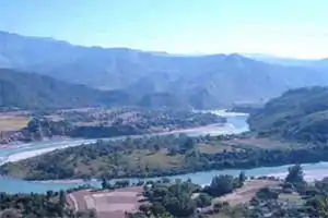 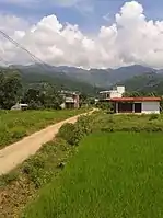 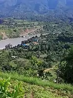 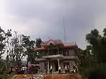 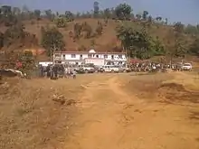 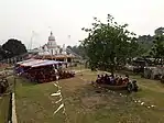 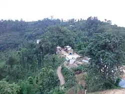 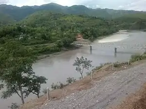 From Top left to right Gandaki River, Keladighat, Radio Chapakot, Majuwa, Radhadamodar Sanskrit Vidyapeeth, Keladighat Temple, Patsar & Keladighat bridge | |
 Chapakot Chapakot Municipality 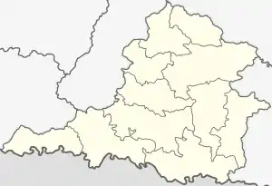 Chapakot Chapakot (Syangja District) 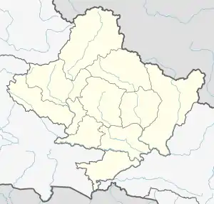 Chapakot Chapakot (Gandaki Pradesh)  Chapakot Chapakot (Nepal) | |
| Coordinates: 27.90°N 83.82°E | |
| Country | |
| Province | Gandaki Pradesh |
| District | Syangja District |
| Government | |
| • Mayor | Shiva Kumar Giri [1] |
| • Deputy Mayor | Bimala Shrestha [2] |
| Area | |
| • Total | 120.59 km2 (46.56 sq mi) |
| Population | |
| • Total | 26,042 |
| • Density | 220/km2 (560/sq mi) |
| Time zone | UTC+5:45 (NST) |
| Website | www |
Population
At the time of the 2011 Nepal Census Chapakot village had a population of 4,702 people living in 1087 individual households.[6] But now had a total population of 12,742 people living in 2,902 individual households when Ratnapur and Kuwakot VDCs merged with Chapakot. Now 26,042 peoples are living in an area of 120.59 km2. It is on a plain surrounded by hills. To the east of Chapakot is Tanahun; to the west is Galyang. The Kali Gandaki divides it from Palpa District to the south, and to the north is Biruwa & Harinas.[5]
References
- "Nepal Local Elections 2074". Kathmandu Post. Retrieved 19 May 2017.
- http://www.chapakotmun.gov.np/en
- "72 New Municipalities Announced Archived June 18, 2014, at the Wayback Machine", Republica, 8 May 2014.
- "Govt Announces 72 New Municipalities Archived 2014-10-06 at the Wayback Machine, The Kathmandu Post, 8 May 2014.
- "Which local unit do you belong to?". My Republica. Retrieved 11 March 2017.
- "Syangja VDC Level Report" (PDF). Central Bureau of Statistics. Archived from the original (PDF) on 2014-10-26.