Chuanhui District
Chuanhui District (simplified Chinese: 川汇区; traditional Chinese: 川匯區; pinyin: Chuānhuì Qū; lit. 'river intersection') is a district of the city of Zhoukou in Henan province, China. It lies at the intersection of the Ying River, Sha River and Jialu River. The name "Chuanhui" means that three rivers come across. From the 17th to 19th centuries, it was an important port in China's Inland Waterway System, connecting the Huai River and the Yellow River. The Zhoukou City Government offices are located in Chuanhui District.
Chuanhui
川汇区 | |
|---|---|
 Chuanhui Location in Henan | |
| Coordinates: 33.6206°N 114.651°E | |
| Country | People's Republic of China |
| Province | Henan |
| Prefecture-level city | Zhoukou |
| Area | |
| • Total | 141 km2 (54 sq mi) |
| Population (2019)[2] | |
| • Total | 721,300 |
| • Density | 5,100/km2 (13,000/sq mi) |
| Time zone | UTC+8 (China Standard) |
| Postal code | 466000, 466001, 466002 |
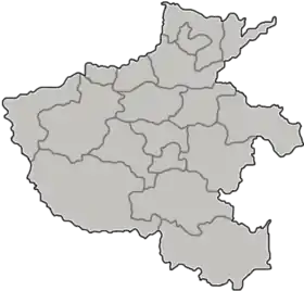
Administrative divisions
As 2012, this district is divided to 9 subdistricts and 1 township.[3]
- Subdistricts
|
|
- Townships
- Libukou Township (李埠口乡)
Gallery


References
- 最新人口信息 www.hongheiku.com (in Chinese). hongheiku. Retrieved 2021-01-12.
- 最新人口信息 www.hongheiku.com (in Chinese). hongheiku. Retrieved 2021-01-12.
- 周口市-行政区划网 www.xzqh.org (in Chinese). XZQH. Retrieved 2012-05-24.
This article is issued from Wikipedia. The text is licensed under Creative Commons - Attribution - Sharealike. Additional terms may apply for the media files.