Claughton, Lancaster
Claughton (/ˈklæftən/ KLAF-tən) is a small village and civil parish in the City of Lancaster in Lancashire, England. The village is on the A683 road east of Lancaster and at the time of the 2001 census had a population of 132,[1] which increased to 209 by the time of the 2011 Census.[2]
| Claughton | |
|---|---|
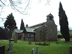 St Chad's Church | |
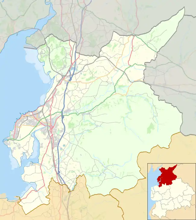 Claughton Location in the City of Lancaster district 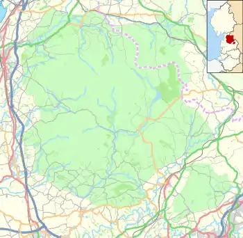 Claughton Location in the Forest of Bowland 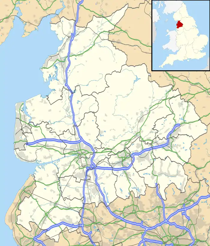 Claughton Location within Lancashire | |
| Population | 209 (2011) |
| OS grid reference | SD562664 |
| Civil parish |
|
| District | |
| Shire county | |
| Region | |
| Country | England |
| Sovereign state | United Kingdom |
| Post town | LANCASTER |
| Postcode district | LA2 |
| Dialling code | 01524 |
| Police | Lancashire |
| Fire | Lancashire |
| Ambulance | North West |
| UK Parliament | |
North of the village is the River Lune, and to the south is Claughton Moor and the fells of the Forest of Bowland.
Local government
Claughton is part of the Lower Lune Valley ward, which elects two councillors to Lancaster City Council every 4 years.[3]
Industry
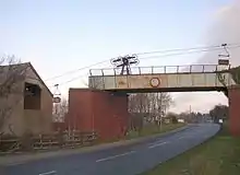
There is a brickworks, Claughton Brickworks, in the village. Ropeway conveyors, which transport clay from Claughton Moor to the Claughton Brickworks, are suspended above the road (A683).[4]
Religious sites
St Chad's Church was closed by the Church of England in 2002 due to a decline in the number of worshippers and the fact that the building was in need of modernisation. The church was part of the Hornby with Claughton parish. There was a church on the site as early as 1100.[5]
Railway
The railway station (actually a crossing cottage[6]) was on the "Little" North Western Railway at 54°05′43.47″N 2°40′2.15″W. Trains running between Lancaster Green Ayre railway station and Wennington railway station stopped at Claughton between Caton and Hornby. In 1853, for example, the 11am from Morecambe to Skipton called at Claughton at 11.35.[7]
References
- "2001 Census: Key Statistics: Parish Headcounts: Area: Claughton CP (Parish)". Office for National Statistics. Retrieved 24 July 2008.
- "Parish population 2011". Retrieved 7 June 2015.
- "Your councillors". Lancaster City Council. 2004. Retrieved 24 July 2008.
- "Historic Landscapes of Bowland and The Lune Valley". Lancashire County Council. 2008. Archived from the original on 9 August 2007. Retrieved 24 July 2008.
- "End of era for church". Lancashire Evening Telegraph. Newsquest Media Group. 31 October 2002. Retrieved 24 July 2008.
- "Tatham area railways 1845-1914". Retrieved 31 March 2015.
- "North Western Railway". Westmorland Gazette. 22 January 1853. p. 8 – via British Newspaper Archive.
