Coroglen
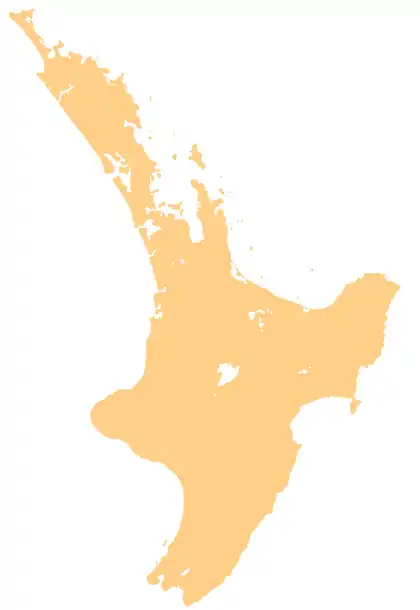
Coroglen (Māori: Ōunuora) is a locality in the Coromandel Peninsula, New Zealand. It lies on State Highway 25, 18 kilometres south of Whitianga and 26 kilometres north west of Tairua.[1][2] The "Tapu-Coroglen Road", a windy gravel road, connects it across the Coromandel Range with Tapu on the west coast of the peninsula.
Coroglen
Ōunuora (Māori) | |
|---|---|
 Coroglen | |
| Coordinates: 36°55′26″S 175°41′31″E | |
| Country | New Zealand |
| Region | Waikato |
| District | Thames-Coromandel District |
| Postcode | 3591 |
History
The town was founded as "Gumtown" in the late 19th century with a kauri sawmill.[3] In the early 1900s, Gumtown had three stores, a bakery, a butcher's, a bootmaker, a blacksmith, a hotel, two boarding houses, and a billiard saloon.[4] Currently, Coroglen has a tavern (famous for live music performances), a school, a pre school and a community garden.
Education
Coroglen School is a co-educational full primary (years 1 - 8) school with a decile rating of 6 and a roll of around 40.[5]
Notes
- Peter Dowling (editor) (2004). Reed New Zealand Atlas. Reed Books. pp. map 16. ISBN 0-7900-0952-8.CS1 maint: extra text: authors list (link)
- Roger Smith, GeographX (2005). The Geographic Atlas of New Zealand. Robbie Burton. pp. map 41. ISBN 1-877333-20-4.
- Michael King (1993). The Coromandel. p. 97. ISBN 0-908884-29-X.
- King, p 99
- "Te Kete Ipurangi - Coroglen School". Ministry of Education. Archived from the original on 29 September 2007. Retrieved 8 February 2008.
