Crosby Municipal Airport (Mississippi)
Crosby Municipal Airport (FAA LID: C71) is a public use airport in Amite County, Mississippi, United States. It is owned by the Town of Crosby and located one nautical mile (2 km) northeast of its central business district.[1] This airport is included in the National Plan of Integrated Airport Systems for 2011–2015, which categorized it as a general aviation facility.[2]
Crosby Municipal Airport | |||||||||||
|---|---|---|---|---|---|---|---|---|---|---|---|
| Summary | |||||||||||
| Airport type | Public | ||||||||||
| Owner | Town of Crosby | ||||||||||
| Serves | Crosby, Mississippi | ||||||||||
| Elevation AMSL | 336 ft / 102 m | ||||||||||
| Coordinates | 31°17′46″N 091°03′10″W | ||||||||||
| Website | TownOfCrosby.com/... | ||||||||||
| Map | |||||||||||
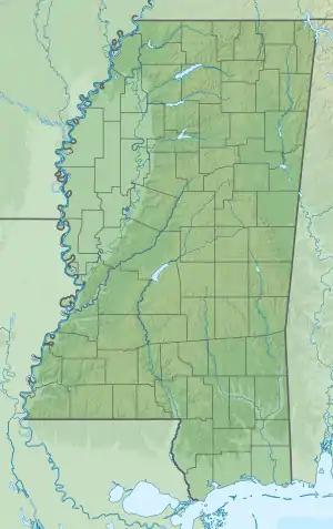 C71 Location of airport in Mississippi | |||||||||||
| Runways | |||||||||||
| |||||||||||
| Statistics (2012) | |||||||||||
| |||||||||||
Facilities and aircraft
Crosby Municipal Airport covers an area of 40 acres (16 ha) at an elevation of 336 feet (102 m) above mean sea level. It has one runway designated 17/35 with an asphalt surface measuring 3,127 by 60 feet (953 x 18 m).[1]
For the 12-month period ending March 27, 2012, the airport had 1,200 general aviation aircraft operations, an average of 100 per month.[1]
See also
References
- FAA Airport Form 5010 for C71 PDF. Federal Aviation Administration. Effective November 15, 2012.
-
"2011–2015 NPIAS Report, Appendix A" (PDF). National Plan of Integrated Airport Systems. Federal Aviation Administration. October 4, 2010. Archived from the original (PDF, 2.03 MB) on September 27, 2012. External link in
|work=(help)
External links
- Crosby Municipal Airport at Town of Crosby website
- Aerial image as of March 1996 from USGS The National Map
- Resources for this airport:
- FAA airport information for C71
- AirNav airport information for C71
- FlightAware airport information and live flight tracker
- SkyVector aeronautical chart for C71
This article is issued from Wikipedia. The text is licensed under Creative Commons - Attribution - Sharealike. Additional terms may apply for the media files.
