Dajarra, Queensland
Dajarra is a town and a locality in the Shire of Cloncurry, Queensland, Australia.[2][3] In the 2016 census, Dajarra had a population of 191 people.[1]
| Dajarra Queensland | |||||||||||||||
|---|---|---|---|---|---|---|---|---|---|---|---|---|---|---|---|
 Dajarra Hotel, Mark Street, 2016 | |||||||||||||||
 Dajarra | |||||||||||||||
| Coordinates | 21.6952°S 139.5138°E | ||||||||||||||
| Population | 191 (2016 census)[1] | ||||||||||||||
| Postcode(s) | 4825 | ||||||||||||||
| Location |
| ||||||||||||||
| LGA(s) | Shire of Cloncurry | ||||||||||||||
| State electorate(s) | Traeger | ||||||||||||||
| Federal Division(s) | Kennedy | ||||||||||||||
| |||||||||||||||
Geography
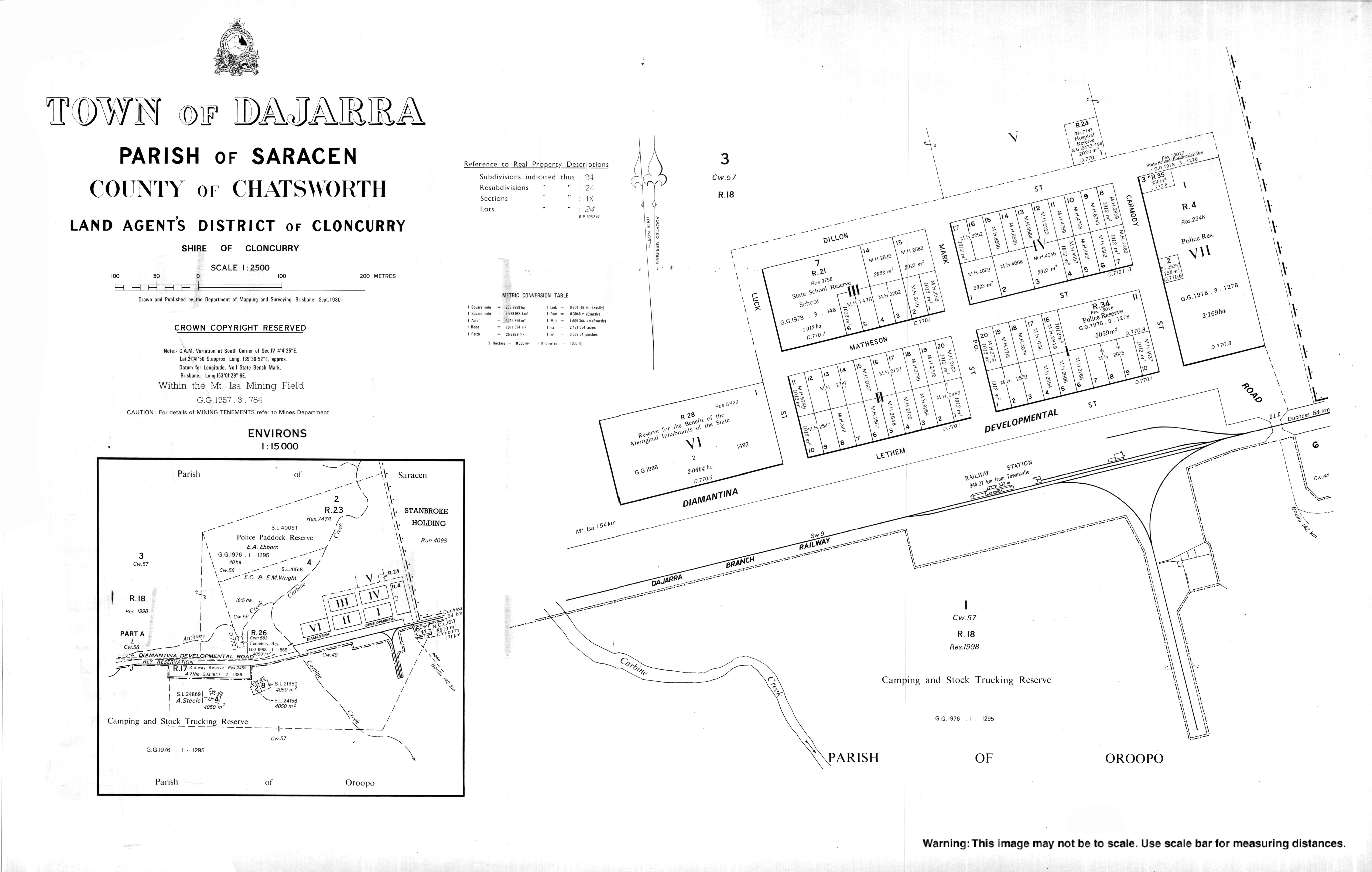
Dajarra is in North West Queensland near the border with the Northern Territory. It is about 150 kilometres (93 mi) south of Mount Isa on the Diamantina Developmental Road (also known as the Boulia Mount Isa Highway). The town is close to the intersection of the Diamantina Developmental Road with the Duchess Dajarra Road.[4]
History
The town takes its name from the Dajarra railway station assigned by the Queensland Railways Department on 21 June 1916, and is reportedly an Aboriginal word referring to an isolated mountain nearby.[2] It was formerly known as Carbine Creek. The railway station was on the Dajarra railway line which connected Dajarra to Cloncurry via Duchess and reached Dajarra on 16 April 1917. This line was intended as part of the proposed Great Western Railway which would connect Sydney in New South Wales through to Darwin in the Northern Territory; however, the next section of the line from Dajarra towards Camooweal was started but never completed.[5]
Dajarra once had importance as a railhead for the cattle industry, the railway giving connection to the ports and markets of the east coast of Australia. Dajarra Post Office opened on 7 November 1919 (a receiving office had been open from 1917).[6]
The older people of the area who remember Dajarra's heyday say that the area trucked more cattle than Texas in the United States of America. Cattle drovers on horseback would bring cattle from as far away as Western Australia to put them on the train at Dajarra.[7]
Dajarrra State School opened in 1920.[8][9]
St Martin de Porres Catholic Church was built in 1962.[10]
Competing road transport eventually captured the cattle market and Dajarra railway station closed when the line from Duchess closed on 1 January 1994.
More recently, some opportunities for local employment have come with the development of the nearby Phosphate Hill phosphate mine and fertilizer production plant. The mining company has assisted the community in developing a better water supply for the town.
The town has a rich Aboriginal heritage and is home to Aboriginal tribes from around the Diamantina River, the Gulf of Carpentaria and the Northern Territory.[11]
In the 2011 census there were 429 people living in Dajarra.
Education
Dajarra State School is a government primary (Early Childhood-6) school for boys and girls at Matheson Street (21.6946°S 139.5122°E).[12][13] In 2017, the school had an enrolment of 27 students with 4 teachers and 5 non-teaching staff (3 full-time equivalent).[14] An Aboriginal language is taught at the school, along with how to make boomerangs, what wood to use and what timber is best for didgeridoos. The children are also taught where to find bush foods and the 'bush lollies' on the gidyea trees after rain, and other traditional foods.[11]
References
- Australian Bureau of Statistics (27 June 2017). "Dajarra (SSC)". 2016 Census QuickStats. Retrieved 20 October 2018.

- "Dajarra – town in Shire of Cloncurry (entry 9202)". Queensland Place Names. Queensland Government. Retrieved 12 December 2018.
- "Dajarra – locality in Shire of Cloncurry (entry 42377)". Queensland Place Names. Queensland Government. Retrieved 12 December 2018.
- "Queensland Globe". State of Queensland. Retrieved 12 December 2018.
- Kerr, John (1990). Triumph of narrow gauge : a history of Queensland Railways. Boolarong Publications. p. 125. ISBN 978-0-86439-102-5.
- Premier Postal History. "Post Office List". Premier Postal Auctions. Retrieved 10 May 2014.
- "Lifestyle in Dajarra". Mount Isa Region Information System. Mount Isa Chamber of Commerce. Archived from the original on 11 May 2006. Retrieved 15 May 2006.
- "Dajarra SS". Retrieved 3 February 2017.
- "Opening and closing dates of Queensland Schools". Queensland Government. Retrieved 18 April 2019.
- "Our History". Good Shepherd Catholic Parish of Mount Isa. Archived from the original on 19 December 2020. Retrieved 20 December 2020.
- "Dajarra". Tourism Queensland. Retrieved 15 May 2006.
- "State and non-state school details". Queensland Government. 9 July 2018. Archived from the original on 21 November 2018. Retrieved 21 November 2018.
- "Dajarra State School". Archived from the original on 28 July 2012. Retrieved 21 November 2018.
- "ACARA School Profile 2017". Archived from the original on 22 November 2018. Retrieved 22 November 2018.