Deduru Oya
The Deduru Oya is the sixth-longest river of Sri Lanka. It measures approximately 142 km (88 mi) in length. It runs across four provinces and five districts.
| Deduru Oya | |
|---|---|
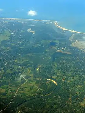 Aerial view of the mouth of Deduru River, Chilaw. | |
 | |
| Physical characteristics | |
| Source | |
| • location | Galagedara |
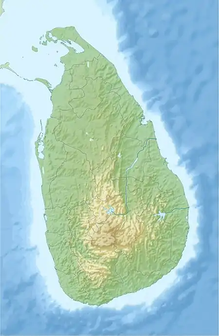
| Mouth | |
• location | Chilaw |
• coordinates | 07°36′50″N 79°48′12″E |
• elevation | Sea level |
| Length | 142 km (88 mi) |
| Basin size | 2,620 km2 (1,010 sq mi) |
Tributaries
- Kospothu Oya
- Dik Oya
- Ratwila Ela
- Kimbulwana Oya
- Hakwatuna Oya
- Maguru Oya
- Kolamunu Oya
Its catchment area receives approximately 4,313 million cubic metres of rain per year, and approximately 27 percent of the water reaches the sea. It has a catchment area of 2,620 square kilometres.[1]
References
- "Sri Lanka: Rivers". FAO. Retrieved 16 June 2019.
This article is issued from Wikipedia. The text is licensed under Creative Commons - Attribution - Sharealike. Additional terms may apply for the media files.