Kala Oya
The Kala Oya is the third longest river in Sri Lanka. It is approximately 145 km (90 mi) in length. The river has a basin size of 2,873 km2 (1,109 sq mi),[1] and more than 400,000 rural population live by the river basin.[2]
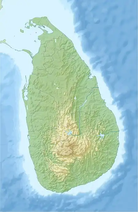
| Kala Oya | |
|---|---|
 | |
| Physical characteristics | |
| Source | |
| • location | Dambulla |
| Mouth | Palk Strait |
• location | Wilpattu |
• coordinates | 08°17′41″N 79°50′23″E |
• elevation | Sea level |
| Length | 148 km (92 mi) |
| Basin size | 2,873 km2 (1,109 sq mi) |
Its catchment area receives approximately 3,169 million cubic metres of rain per year, and approximately 5 percent of the water reaches the sea. It has a catchment area of 1,792 square kilometers.[3]
References
- Maria Saleth, Rathinasamy (January 2007). "Analytical Framework with Empirical Results from the Kala Oya Basin, Sri Lanka" (PDF). Researchgate.net. p. 8. Retrieved 9 March 2018.
- Emerton, Lucy (2005). Values and Rewards: Counting and Capturing Ecosystem Water Services for Sustainable Development. IUCN. p. 93. ISBN 9789558177433.
- "Sri Lanka: Rivers". FAO. Retrieved 16 October 2016.
This article is issued from Wikipedia. The text is licensed under Creative Commons - Attribution - Sharealike. Additional terms may apply for the media files.