Menik Ganga
The Menik Ganga is the thirteenth-longest river of Sri Lanka. It measures approximately 114 km (71 mi) in length. It runs across two provinces and two districts.
| Menik Ganga | |
|---|---|
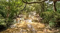 The river in Katharagama | |
 | |
| Physical characteristics | |
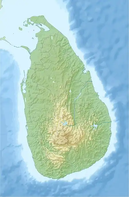
| Source | |
| • location | Namunukula |
| Mouth | |
• location | Yala |
• coordinates | 06°21′49″N 81°31′55″E |
• elevation | Sea level |
| Length | 114 km (71 mi) |
| Discharge | |
| • maximum | 220 106 Sq.m |
Its catchment area receives approximately 2,124 million cubic metres of rain per year, and approximately 10 percent of the water reaches the sea. It has a catchment area of 1,272 square kilometres.[1]
References
- "Sri Lanka: Rivers". FAO. Retrieved 16 June 2019.
This article is issued from Wikipedia. The text is licensed under Creative Commons - Attribution - Sharealike. Additional terms may apply for the media files.