Dutchtown, Somerset County, New Jersey
Dutchtown is an unincorporated community located within Montgomery Township in Somerset County, New Jersey, United States.[2] The area consists mainly of forested land with some houses grouped around the intersection of Dutchtown-Zion Road and Belle Meade-Blawenberg Road (County Route 601) in the northern portion of the township. Also nearby are the Unionville Cemetery and a rock quarry.[3]
Dutchtown, New Jersey | |
|---|---|
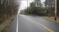 Looking south at the intersection of Belle Meade-Blawenberg Road (CR 601) and Dutchtown-Zion Road | |
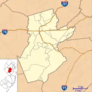 Dutchtown, New Jersey Location of Dutchtown in Somerset County Inset: Location of county within the state of New Jersey 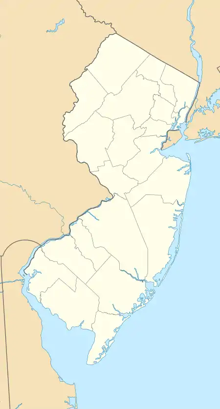 Dutchtown, New Jersey Dutchtown, New Jersey (New Jersey)  Dutchtown, New Jersey Dutchtown, New Jersey (the United States) | |
| Coordinates: 40°26′52″N 74°41′24″W | |
| Country | |
| State | |
| County | Somerset |
| Township | Montgomery |
| Elevation | 112 ft (34 m) |
| GNIS feature ID | 876021[1] |
References
- "Dutchtown". Geographic Names Information System. United States Geological Survey.
- Locality Search, State of New Jersey. Accessed February 15, 2015.
- Google (January 14, 2016). "Aerial view of Dutchtown" (Map). Google Maps. Google. Retrieved January 14, 2016.
Municipalities and communities of Somerset County, New Jersey, United States | ||
|---|---|---|
| Boroughs | 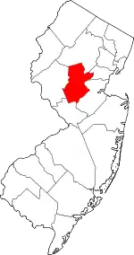 Map of New Jersey highlighting Somerset County | |
| Townships | ||
| CDPs | ||
| Other unincorporated communities | ||
| ||
This article is issued from Wikipedia. The text is licensed under Creative Commons - Attribution - Sharealike. Additional terms may apply for the media files.