East Barito Regency
East Barito Regency (Indonesian: Kabupaten Barito Timur) is one of the thirteen regencies which comprise the Central Kalimantan Province on the island of Kalimantan (Borneo), Indonesia. The town of Tamiang Layang is the capital of East Barito Regency. The population of East Barito Regency was 97,372 at the 2010 Census, but the laterst official estimate (as at January 2014) is 104,712.
East Barito Regency
Kabupaten Barito Timur | |
|---|---|
 Coat of arms | |
 Location within Central Kalimantan | |
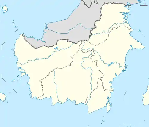 East Barito Regency Location in Kalimantan and Indonesia  East Barito Regency East Barito Regency (Indonesia) | |
| Coordinates: 1.9333°S 115.1000°E | |
| Country | Indonesia |
| Region | Kalimantan |
| Province | Central Kalimantan |
| Capital | Tamiang Layang |
| Government | |
| • Regent | Ampera A.Y. Mebas |
| • Vice Regent | Suriansyah |
| Area | |
| • Total | 1,480 sq mi (3,834 km2) |
| Population (2014) | |
| • Total | 104,712 |
| • Density | 71/sq mi (27/km2) |
| Area code | (+62) 526 |
| Website | baritotimurkab |
Administrative Districts
East Barito Regency consists of ten districts (kecamatan), tabulated below with their populations at the 2010 Census:[1]
|
|
|
Demographics
Religion as of the Indonesia 2010 census:[2]
- Muslim 51.0%
- Protestant 35.3%
- Roman Catholic 8.1%
- Hindu 0.4%
- Buddhist 0.0%
- Confucian 0.0%
- Other 4.9%
- Not asked or not stated 0.3%
Climate
Tamiang Layang has a tropical rainforest climate (Af) with heavy rainfall from October to June and moderate rainfall from July to September.
| Climate data for Tamiang Layang | |||||||||||||
|---|---|---|---|---|---|---|---|---|---|---|---|---|---|
| Month | Jan | Feb | Mar | Apr | May | Jun | Jul | Aug | Sep | Oct | Nov | Dec | Year |
| Average high °C (°F) | 29.5 (85.1) |
30.1 (86.2) |
30.3 (86.5) |
30.7 (87.3) |
30.8 (87.4) |
30.4 (86.7) |
30.4 (86.7) |
31.0 (87.8) |
31.3 (88.3) |
31.3 (88.3) |
30.6 (87.1) |
30.1 (86.2) |
30.5 (87.0) |
| Daily mean °C (°F) | 26.0 (78.8) |
26.4 (79.5) |
26.5 (79.7) |
26.9 (80.4) |
27.0 (80.6) |
26.5 (79.7) |
26.3 (79.3) |
26.7 (80.1) |
26.9 (80.4) |
27.0 (80.6) |
26.7 (80.1) |
26.5 (79.7) |
26.6 (79.9) |
| Average low °C (°F) | 22.6 (72.7) |
22.7 (72.9) |
22.8 (73.0) |
23.1 (73.6) |
23.2 (73.8) |
22.6 (72.7) |
22.2 (72.0) |
22.4 (72.3) |
22.6 (72.7) |
22.7 (72.9) |
22.8 (73.0) |
22.9 (73.2) |
22.7 (72.9) |
| Average rainfall mm (inches) | 286 (11.3) |
262 (10.3) |
274 (10.8) |
246 (9.7) |
208 (8.2) |
147 (5.8) |
118 (4.6) |
98 (3.9) |
123 (4.8) |
145 (5.7) |
241 (9.5) |
301 (11.9) |
2,449 (96.5) |
| Source: Climate-Data.org[3] | |||||||||||||
External links
References
- Biro Pusat Statistik, Jakarta, 2011.
- "Climate: Tamiang Layang". Climate-Data.org. Retrieved 24 November 2020.
This article is issued from Wikipedia. The text is licensed under Creative Commons - Attribution - Sharealike. Additional terms may apply for the media files.
