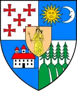
Feliceni
Feliceni (Hungarian: Felsőboldogfalva, Hungarian pronunciation: [ˈfɛlʃøːboldoɡfɒlvɒ], meaning "Upper Village of the Blessed", referring to the Virgin Mary) is a commune in Harghita County, Romania, in the vicinity of Odorheiu Secuiesc. It forms part of the Székely Land, an ethno-cultural region in eastern Transylvania.
Feliceni
Felsőboldogfalva | |
|---|---|
 | |
 Location in Harghita County | |
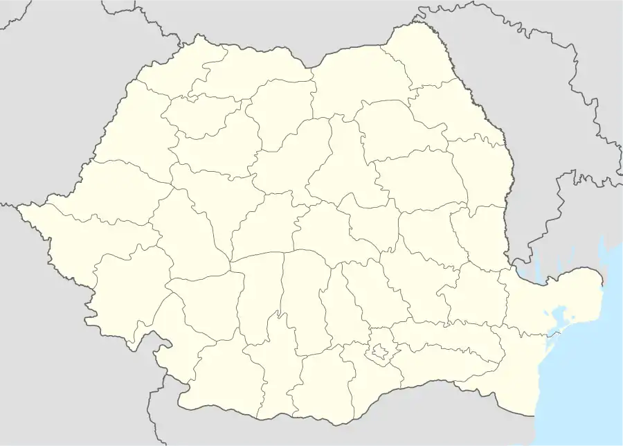 Feliceni Location in Romania | |
| Coordinates: 46°16′N 25°16′E | |
| Country | |
| County | Harghita |
| Government | |
| • Mayor | József Sándor (UDMR) |
| Area | 78.91 km2 (30.47 sq mi) |
| Elevation | 601 m (1,972 ft) |
| Population (2011)[1] | 3,297 |
| • Density | 42/km2 (110/sq mi) |
| Time zone | EET/EEST (UTC+2/+3) |
| Postal code | 537297 |
| Area code | +40 266 |
| Vehicle reg. | HR |
| Website | www |
Component villages
The commune is composed of eleven villages:
| In Romanian | In Hungarian |
|---|---|
| Alexandrița | Sándortelke |
| Arvățeni | Árvátfalva |
| Cireșeni | Sükő |
| Feliceni | Felsőboldogfalva |
| Forțeni | Farcád |
| Hoghia | Hodgya |
| Oțeni | Ocfalva |
| Polonița | Székelylengyelfalva |
| Tăureni | Bikafalva |
| Teleac | Telekfalva |
| Văleni | Patakfalva |
History
The villages of the commune historically belonged to the Székely seat of Udvarhelyszék and from 1876 to Udvarhely County in the Kingdom of Hungary. In the immediate aftermath of World War I, during the Hungarian–Romanian War (1918–1919), these localities passed under Romanian administration. By the terms of the Treaty of Trianon of 1920, they became part of the Kingdom of Romania.
As a result of the Second Vienna Award of August 1940, the region became part of Hungary until the Romanian Army and the Red Army entered the area in September–October 1944. After the Soviet occupation it came again under Romanian administration in March 1945, and became part of Romania in 1947. Between 1952 and 1960, the villages formed part of the Hungarian Autonomous Province, then, of the Mureș-Hungarian Autonomous Province until it was abolished in 1968. Since then, the commune has been part of Harghita County.
Demographics
At the 2011 census, the commune had a population of 3,297; out of them, 97% were Hungarian, 0.9% were Romanian, and 0.7% were Roma.[2]
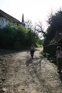
Polonița
Polonița (Hungarian: Székelylengyelfalva, or colloquially Lengyelfalva, Hungarian pronunciation: [seːkɛjlɛnɟɛlfɒlvɒ], meaning "Poles' village") is located along the Polonița (Lengyelfalvi) Creek in a narrow valley. It had 319 inhabitants in 2002 (down from 503 in 1910), of whom 315 were Hungarians.
The village was first mentioned in 1505 as Lengenfalwa when a certain Balthasar was elected "seat judge" at Udvarhely. In 1533, the name was recorded as Lengyelfalva. In 1899, the ethnonym Székely was added to the Hungarian placename in order to distinguish the locality from another Lengyelfalva (now: Košická Polianka) of the historical Kingdom of Hungary. The Romanian name derives from the Hungarian one and was originally used as Lenghelfalău which was later Romanianized by translation.[3]
Its Roman Catholic church was built in 1802 replacing the medieval church.
Natives
- Balázs Orbán (1829–1890)
References
- "Populaţia stabilă pe judeţe, municipii, oraşe şi localităti componenete la RPL_2011" (in Romanian). National Institute of Statistics. Retrieved 4 February 2014.
- Tab8. Populația stabilă după etnie – județe, municipii, orașe, comune, 2011 census results, National Institute of Statistics, accessed 20 February 2020.
- János András Vistai. "Tekintő – Erdélyi Helynévkönyv" [Transylvanian Toponym Book 2nd volume at Lengyelfalva] (PDF).Archived 2011-07-10 at the Wayback Machine
External links
- "Website of Teleac". telekfalva.ro (in Hungarian). Archived from the original on 2009-02-27.