Fishers Peak State Park
Fishers Peak State Park is a Colorado state park in Las Animas County, Colorado, just south of Trinidad. Trinidad Lake State Park is nearby. The park opened on October 30, 2020 and is still being developed.[2][1]
| Fishers Peak State Park | |
|---|---|
 Fishers Peak in Fishers Peak State Park | |
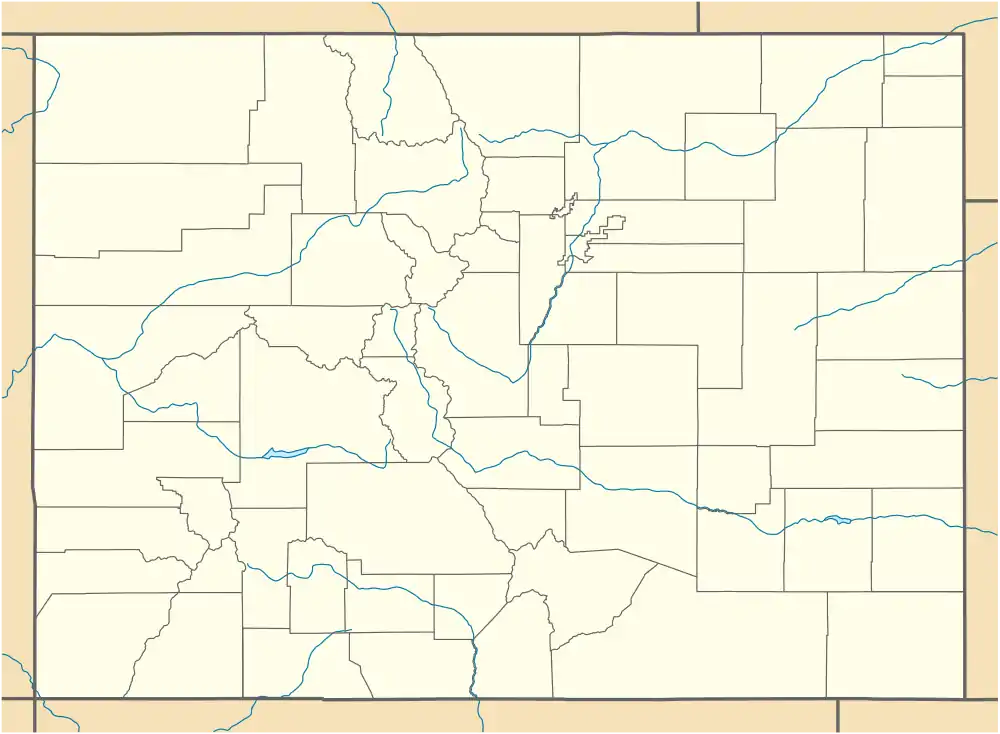 The park's location in Colorado | |
| Location | Las Animas County, Colorado, USA |
| Nearest city | Trinidad, Colorado |
| Coordinates | 37°05′52″N 104°27′46″W |
| Area | 19,200 acres (7,800 ha)[1] |
| Established | 2020 |
| Governing body | Colorado Parks and Wildlife |
History
The land for the park, formerly the privately-held Crazy French Ranch, was purchased in 2019. Funds to purchase the ranch came jointly from Great Outdoors Colorado, the funding arm of the Colorado Lottery, The Nature Conservancy, and The Trust for Public Land.[3]
Geography
The park takes its name from Fishers Peak, elevation 9,632 feet (2,936 m),[4] a prominent, flat-topped mountain and the highest point on Raton Mesa. The mesa was designated a Natural National Landmark in 1967.[5] The park is within the Raton Basin.
The park includes grasslands, foothills, and mountains. One of the main goals of the park's establishment is to conserve the area's wildlife, which includes elk, mule deer, black bear, mountain lions, and bobcats.[3]
Contiguous conservation areas
Adjoining Fishers Peak State Park on the east are two Colorado State Wildlife Areas (SWA): Lake Dorothey, 5,152 acres (2,085 ha), and James M. John, 8,339 acres (3,375 ha). Lake Dorothey also adjoins Sugarite Canyon State Park, 3,600 acres (1,500 ha), in New Mexico. The total contiguous acreage in public ownership is thus about 36,000 acres (15,000 ha). [6] [7]
References
- "Fishers Peak". Colorado Parks & Wildlife. Retrieved 2020-08-14.
- Argueta, Brenda (2020-10-30). "Gov. Jared Polis officially opens Fishers Peak State Park in Trinidad". KOAA News 5. Pueblo, Colorado. Retrieved 2020-10-31.
- "Agreement Reached on Fisher's Peak / Crazy French Ranch". Great Outdoors Colorado. 2019-01-04. Retrieved 2020-08-14.
- "Fishers Peak". Geographic Names Information System. United States Geological Survey.
- "Raton Mesa". National Natural Landmarks. National Park Service, U.S. Department of the Interior. Retrieved 2020-08-14.
- "Map". Colorado Parks and Wildlife. Retrieved 14 Aug 2020.
- "Sugarite Canyon State Park Management and Development Plan" (PDF). Retrieved January 2, 2010.