Four Square Mile, Colorado
Four Square Mile is an unincorporated community and a census-designated place (CDP) located in and governed by Arapahoe County, Colorado, United States. The CDP is a part of the Denver–Aurora–Lakewood, CO Metropolitan Statistical Area. The CDP is surrounded by Denver on the north, west, and south and by Aurora on the east. The name is derived from the four square miles bounded by Quebec Street, Mississippi Avenue, Havana Street and Yale Avenue. Annexation of the Arapahoe County enclave was contested between Denver and Aurora in the early 1970s, with Denver annexing east from Quebec Street and Aurora west from Havana Street.[3] Denver’s annexations were ultimately stopped by the Poundstone Amendment; Aurora is not similarly limited but made its most recent annexation to Dayton Street in 1984, leaving nearly three of the four square miles unincorporated. The Four Square Mile CDP includes Sullivan, a previous unincorporated community designation.[4] The area lies in ZIP codes 80231 and 80247.
Four Square Mile, Colorado | |
|---|---|
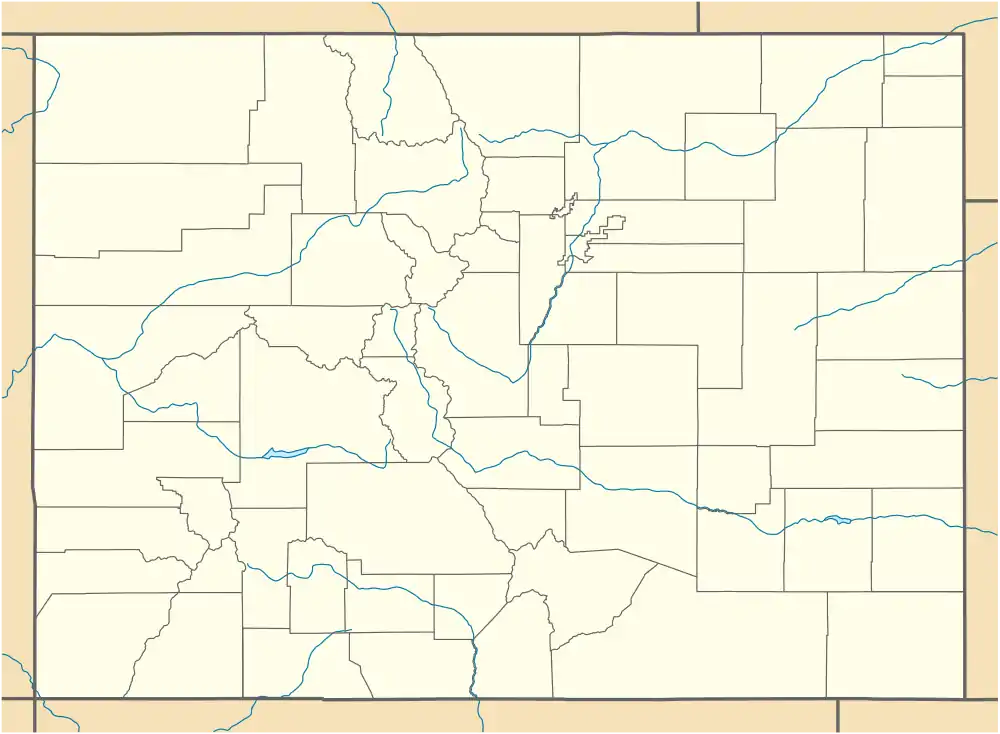 Four Square Mile Location of the Four Square Mile CDP in the State of Colorado. | |
| Coordinates: 39°40′51″N 104°53′17″W[1] | |
| Country | |
| State | |
| County | Arapahoe County |
| Government | |
| • Type | unincorporated community |
| Area | |
| • Total | 2.702 sq mi (6.997 km2) |
| • Land | 2.702 sq mi (6.997 km2) |
| • Water | 0.000 sq mi (0.000 km2) |
| Elevation | 5,525 ft (1,684 m) |
| Time zone | UTC-7 (MST) |
| • Summer (DST) | UTC-6 (MDT) |
| Area codes | 303 & 720 |
| GNIS feature[2] | Four Square Mile CDP |
Geography
The Four Square Mile CDP has an area of 1,729 acres (6.997 km2), all land.[1]
Demographics
The United States Census Bureau defined the Four Square Mile CDP for the United States Census 2020.
| Year | Pop. | ±% |
|---|---|---|
| 2020 | — | |
| Source: United States Census Bureau | ||
See also
- Outline of Colorado
- State of Colorado
- Colorado cities and towns
- Colorado counties
- Colorado metropolitan areas
References
- "State of Colorado Census Designated Places - BAS20 - Data as of January 1, 2020". United States Census Bureau. Retrieved December 29, 2020.
- "U.S. Board on Geographic Names: Domestic Names". United States Geological Survey. Retrieved December 29, 2020.
- "Western History Subject Index". digital.denverlibrary.org. Retrieved 2021-01-18.
- "GNIS Feature Detail Report for: Sullivan". geonames.usgs.gov. Retrieved December 29, 2020.
External links
Municipalities and communities of Arapahoe County, Colorado, United States | ||
|---|---|---|
| Cities | 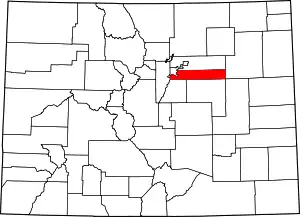 Map of Colorado highlighting Arapahoe County | |
| Towns | ||
| CDPs | ||
| Footnotes | ‡This populated place also has portions in an adjacent county or counties | |
| ||