Garlinge
Garlinge is a village in the suburbs of Margate in Kent, United Kingdom, situated 1 1⁄2 miles (2.4 km) southwest of the centre of the town. It is in the Thanet local government district. There is a small selection of shops in the village: newsagent/off-licence, two hairdressers, bakery/cafe, computer shop, pharmacy, a petrol station (with ATMs and a retail outlet), a mini supermarket/post office and two car workshops. There is a fish and chip shop and an Indian and Chinese take away and an Indian restaurant/take-away. The village has two pubs - the Rodney on the High Street and the Hussar on Canterbury Road - the latter serves meals and has accommodation.
| Garlinge | |
|---|---|
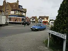 Hussar Hotel, Garlinge, on the junction of High Street and the A28 Canterbury Road | |
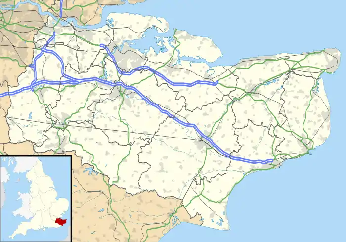 Garlinge Location within Kent | |
| Population | 4,849 (Garlinge ward 2011)[1] |
| OS grid reference | TR335697 |
| • London | 65 mi (105 km) |
| District | |
| Shire county | |
| Region | |
| Country | England |
| Sovereign state | United Kingdom |
| Post town | MARGATE |
| Postcode district | CT9 |
| Dialling code | 01843 |
| Police | Kent |
| Fire | Kent |
| Ambulance | South East Coast |
| UK Parliament | |
Demography
| Garlinge compared | |||
|---|---|---|---|
| 2001 UK Census | Garlinge ward | Thanet borough | England |
| Population | 4,858 | 126,702 | 49,138,831 |
| Foreign born | 3.4% | 5.1% | 9.2% |
| White | 98.8% | 97.7% | 90.9% |
| Unemployed | 3.9% | 4.4% | 3.3% |
| Retired | 16.7% | 17.5% | 13.5% |
At the 2001 UK census, the Garlinge electoral ward had a population of 4,858. The ethnicity was 98.8% white, 0.6% mixed race, 0.3% Asian, 0.1% black and 0.2% other. The place of birth of residents was 96.6% United Kingdom, 0.6% Republic of Ireland, 1.1% other Western European countries, and 1.7% elsewhere. Religion was recorded as 76.3% Christian, 0.2% Buddhist, 0% Hindu, 0.1% Sikh, 0.3% Jewish, and 0.1% Muslim. 13.8% were recorded as having no religion, 0.2% had an alternative religion and 9.1% did not state their religion.[2]
The economic activity of residents aged 16–74 was 34.5% in full-time employment, 13.5% in part-time employment, 8.4% self-employed, 3.9% unemployed, 2.8% students with jobs, 3.6% students without jobs, 16.7% retired, 8.4% looking after home or family, 5.7% permanently sick or disabled and 2.6% economically inactive for other reasons. The industry of employment of residents was 15.9% retail, 13.7% manufacturing, 9.9% construction, 9.5% real estate, 14.3% health and social work, 9.3% education, 7.9% transport and communications, 4.7% public administration, 4.6% hotels and restaurants, 2.2% finance, 1.6% agriculture and 6.4% other. Compared with national figures, the ward had a relatively high proportion of workers in construction, education, and health and social work. There were a relatively low proportion in real estate and finance. Of the ward's residents aged 16–74, 9.3% had a higher education qualification or the equivalent, compared with 19.9% nationwide.[2]
References
- "Margate ward population 2011". Archived from the original on 6 October 2015. Retrieved 2 October 2015.
- "Neighbourhood Statistics". Statistics.gov.uk. Archived from the original on 25 May 2011. Retrieved 26 February 2008.
External links
![]() Media related to Garlinge at Wikimedia Commons
Media related to Garlinge at Wikimedia Commons
 | Unparished areas | |
|---|---|---|
| Civil parishes | ||
| Other settlements | ||