Sarre, Kent
Sarre is a village and civil parish in Thanet District in Kent, England. The village is a part of St. Nicholas-at-Wade ecclesiastical parish, after having lost the local church of St. Giles in Elizabethan times; the ecclesiastical parishes were subsequently combined.[1] In its own right Sarre is an Ancient Parish.[2][3] It has a population of 130,[4] increasing to 222 at the 2011 Census.[5]
| Sarre | |
|---|---|
 Houses on Old Road, Sarre | |
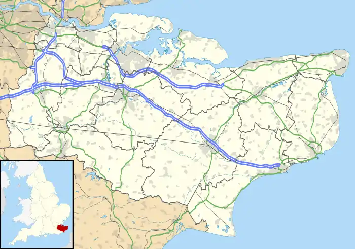 Sarre Location within Kent | |
| Population | 222 (2011) |
| OS grid reference | TR255645 |
| Civil parish |
|
| District | |
| Shire county | |
| Region | |
| Country | England |
| Sovereign state | United Kingdom |
| Post town | Birchington |
| Postcode district | CT7 |
| Dialling code | 01843 |
| Police | Kent |
| Fire | Kent |
| Ambulance | South East Coast |
| UK Parliament | |
Sarre is located at the point where the old 'Island Road' from Margate to Canterbury crossed the Wantsum Channel initially by a ferry and from the late Middle Ages by a bridge. The route of this bridge is followed by a short section of the modern A28 and is still marked on some maps as Sarre Wall.
History
Mediaeval
The important late Roman or early Anglo-Saxon Sarre Brooch was found near the village; it is now on display in the British Museum (near the Sutton Hoo finds),[6] along with many other important early mediaeval artefacts from the same cemetery.[7]
The coastal confederation of Cinque Ports during its mediaeval period consisted of a confederation of 42 towns and villages in all. Sarre was included, under the 'limb' of Sandwich, Kent.[8]
World War II
In July 1940 the village was turned into a model strong point by the 1st Canadian Pioneer Battalion. Within three weeks the village bristled with defences including fifteen casemates and a variety of flame traps, flame fougasses and other anti-tank devices.[9]
The Canadian commander Andrew McNaughton later recalled: "I turned a pioneer battalion loose to fortify Sarre in every possible way. They took ladies' boudoirs and turned them into machine-gun posts without showing anything from the outside; I'm sure they never got the concrete out. There was a big building inside the village that had a hoist for casks. The boys arranged a big barrel of petroleum, with phosphorus bombs inside, that was all poised ready to swing. When a tank came through the village and slowed to make the turn they would just pull a catch and the barrel would smack the tank fair and square and go off with a great gust of flame."[nb 1]
While McNaughton was inspecting the defences in August 1940, the village was attacked from the air and three bombs were dropped. A cottage was hit killing one adult and two or three children.[9]
Today
The village has one public house, The Crown Inn – this being known locally as the 'Cherry Brandy House'. A special recipe of Cherry Brandy can be purchased from behind the bar. A second public house, the King's Head, recently closed and was sold privately.
The village mill (Sarre Windmill) was previously open to the public as a working windmill. Recently, the mill has closed and is not open to the public except for the ground floor which is a holiday cottage for two. The mill shop is now also a holiday cottage.[10] The surrounding buildings, including the Old Bakery and the Old Granary (which was originally thatched), have been sold privately and are now subdivided properties.
References
- Footnotes
- McNaughton quoted by Swettenham.[9]
- Notes
- A Parish History of St. Nicholas-at-Wade and Sarre, 1990
- RootsWeb: Isle-of-Thanet-L Re: [IoT] St.Peter's Thanet
- Worcester Branch, Birmingham and Midlands Society for Archived 15 May 2008 at the Wayback Machine
- Office for National Statistics : Census 2001 : Parish Headcounts : Thanet Retrieved 2009-08-30
- "Civil Parish population 2011". Retrieved 3 October 2015.
- British Museum Collection
- British Museum Collection
- http://www.villagenet.co.uk/history/1155-cinqueports.php
- Swettenham 1968, p. 133.
- Hoseasons Sarre Windmill Retrieved 2012-02-27
- Bibliography
- Swettenham, John (1968). McNaughton. Volume 2 (1939-1943). Ryerson Press. ISBN 978-0-7700-0238-1.CS1 maint: ref=harv (link)
External links
![]() Media related to Sarre, Kent at Wikimedia Commons
Media related to Sarre, Kent at Wikimedia Commons
 | Unparished areas | |
|---|---|---|
| Civil parishes | ||
| Other settlements | ||