Green Township, Adams County, Ohio
Green Township is one of the fifteen townships of Adams County, Ohio, United States. The 2010 census found 651 people in the township,[3] 557 of whom lived in the unincorporated portions of the township.
Green Township, Adams County, Ohio | |
|---|---|
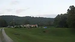 Countryside near Sandy Springs | |
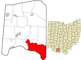 Location in Adams County and the state of Ohio. | |
| Coordinates: 38°39′28″N 83°21′35″W | |
| Country | United States |
| State | Ohio |
| County | Adams |
| Area | |
| • Total | 55.5 sq mi (143.8 km2) |
| • Land | 55.0 sq mi (142.5 km2) |
| • Water | 0.5 sq mi (1.4 km2) |
| Elevation | 791 ft (241 m) |
| Population (2010) | |
| • Total | 651 |
| • Density | 12/sq mi (4.6/km2) |
| Time zone | UTC-5 (Eastern (EST)) |
| • Summer (DST) | UTC-4 (EDT) |
| FIPS code | 39-31668[2] |
| GNIS feature ID | 1085677[1] |
Geography
Located in the southeastern corner of the county along the Ohio River, it borders the following townships:
- Brush Creek Township - north
- Jefferson Township - northeast
- Nile Township, Scioto County - east
- Monroe Township - west
Lewis County, Kentucky lies across the Ohio River to the southwest.
It is the most southerly township in Adams County.
The village of Rome is located in central Green Township along the Ohio River.
Name and history
Green Township is named for General Nathanael Greene.[4] It is one of sixteen Green Townships statewide.[5]
Government
The township is governed by a three-member board of trustees, who are elected in November of odd-numbered years to a four-year term beginning on the following January 1. Two are elected in the year after the presidential election and one is elected in the year before it. There is also an elected township fiscal officer,[6] who serves a four-year term beginning on April 1 of the year after the election, which is held in November of the year before the presidential election. Vacancies in the fiscal officership or on the board of trustees are filled by the remaining trustees.
References
- "US Board on Geographic Names". United States Geological Survey. 2007-10-25. Retrieved 2008-01-31.
- "U.S. Census website". United States Census Bureau. Retrieved 2008-01-31.
- "Geographic Identifiers: 2010 Demographic Profile Data (G001): Green township, Adams County, Ohio". U.S. Census Bureau, American Factfinder. Archived from the original on February 12, 2020. Retrieved July 5, 2013.
- Evans, Nelson Wiley (1900). A History of Adams County, Ohio: From Its Earliest Settlement to the Present Time. E B. Stivers. pp. 421.
- "Detailed map of Ohio" (PDF). United States Census Bureau. 2000. Retrieved 2007-02-16.
- §503.24, §505.01, and §507.01 of the Ohio Revised Code. Accessed 4/30/2009.
External links
Municipalities and communities of Adams County, Ohio, United States | ||
|---|---|---|
| Villages | 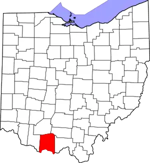 Map of Ohio highlighting Adams County | |
| Townships | ||
| CDPs | ||
| Unincorporated communities |
| |
| ||
| Authority control |
|
|---|