Hendon, Queensland
Hendon is a rural town and locality in the Southern Downs Region, Queensland, Australia.[2][3] In the 2016 census, Hendon had a population of 200 people.[1]
| Hendon Queensland | |||||||||||||||
|---|---|---|---|---|---|---|---|---|---|---|---|---|---|---|---|
 Hendon | |||||||||||||||
| Coordinates | 28.0711°S 151.9508°E | ||||||||||||||
| Population | 200 (2016 census)[1] | ||||||||||||||
| • Density | 20/km2 (52/sq mi) | ||||||||||||||
| Postcode(s) | 4362 | ||||||||||||||
| Area | 10.0 km2 (3.9 sq mi) | ||||||||||||||
| Time zone | AEST (UTC+10:00) | ||||||||||||||
| LGA(s) | Southern Downs Region | ||||||||||||||
| State electorate(s) | Warrego | ||||||||||||||
| Federal Division(s) | Maranoa | ||||||||||||||
| |||||||||||||||
Geography
Hendon is situated 25 kilometres (16 mi) north of Warwick and about 160 kilometres (99 mi) southwest of Brisbane.
History
The village of Hendon developed after the opening of the South Western railway from Gowrie Junction (near Toowoomba) to Hendon on 11 March 1869. The southern line was extended to Millhill on 9 January 1871, and across the Condamine River to and Cherry Gully on 8 December 1880; it eventually reached the New South Wales border at Wallangarra in 1887.
The town takes its name from the Hendon railway station, which in turn was originally named Allora in 1869, but was changed to Hendon in mid-1870s as the station was 5 kilometres (3.1 mi). from the town of Allora.[2][4] Hendon was the name of a settler in the district.[5]
Hendon Post Office opened on 1 April 1877 and closed in 1968.[6]
Hendon Provisional School opened on 5 June 1882, later becoming Hendon State School. The school closed on 1 June 1954.[7]
Hendon served as the railhead for the town of Allora (surveyed in 1859), located four miles to the northeast. Black-soil roads linking Allora with the railway were often impassable after heavy rain. The residents of Allora and the Allora Municipal Council lobbied for a railway connection, which was opened from Hendon to Allora on 21 April 1897. The railway was built under the Railways Guarantee Act (1895), which required the Allora Municipal Council to share any losses and profits with the Railway Department for a period of 14 years. Due to the branch line's short length, the revenue apportionment between the main and branch lines was adjusted in 1899 to ensure the branch line's receiving its fair share of income. When the guarantee expired, the Allora Municipal Council received £1,200 as its share of the profits. An extension of the branch to Goomburra (east of Allora) opened on 23 August 1912.
In its early days Hendon consisted of the Railway Hotel, a hall, the primary school and a golf course. The hotel was located in Railway Street, adjacent to the railway station. The primary school opened in 1882; in 1887 it had an enrollment of 195 students, but the building was destroyed by fire on 19 October 1926. The new school building was moved from View Glen (near Toowoomba) to Hendon, and was completed on 14 June 1927. It closed on 1 June 1954.
The township was surveyed into a number of residential blocks; streets were named for district towns, early settlers and streams (such as Maryvale, Goomburra, Leslie and Glengallan). The population slowly drifted away from Hendon, which resulted in the loss of public facilities. The hall was moved to a district farm, and the hotel and school buildings disappeared. The railway station in 1963 had a stationmaster in charge, a siding accommodation, a fork-line connection to the Allora branch, telegraph and signal communication, cattle, sheep and pig yards and a goods shed. As of 2011, apart from the railway lines all other infrastructure is gone. The Goomburra branch was closed beyond Allora on 1 July 1961, with the balance of the branch out of use by the mid-1990s.
In the 2006 census, Hendon had a population of 519.[8]
A number of new homes have been built in Hendon, and the population is slowly increasing. A steel merchant operates within the town; this business is the only major commercial enterprise.
Education
There are no schools in Hendon. The nearest primary school is in Allora. The nearest secondary school is in Allora but only offer schooling to Year 10. For Years 11 and 12 the nearest schools are in Warwick and Clifton.[9]
References
- Australian Bureau of Statistics (27 June 2017). "Hendon (SSC)". 2016 Census QuickStats. Retrieved 20 October 2018.

- "Hendon – town in Southern Downs Region (entry 15721)". Queensland Place Names. Queensland Government. Retrieved 17 November 2019.
- "Hendon – locality in Southern Downs Region (entry 47651)". Queensland Place Names. Queensland Government. Retrieved 17 November 2019.
- Kerr, John (1990). Triumph of narrow gauge : a history of Queensland Railways. Boolarong Publications. p. 21. ISBN 978-0-86439-102-5.
- "SKETCHER". The Queenslander (2455). Queensland, Australia. 4 April 1914. p. 8. Retrieved 17 November 2019 – via National Library of Australia.
- Premier Postal History. "Post Office List". Premier Postal Auctions. Retrieved 10 May 2014.
- Queensland Family History Society (2010), Queensland schools past and present (Version 1.01 ed.), Queensland Family History Society, ISBN 978-1-921171-26-0
- Australian Bureau of Statistics (25 October 2007). "Hendon (Warwick Shire) (State Suburb)". 2006 Census QuickStats. Retrieved 21 May 2011.
- "Queensland Globe". State of Queensland. Retrieved 17 November 2019.
Bibliography
- John Kerr, Triumph of Narrow Gauge: Boolarong Publications, 1990
- Peter Doherty and Debbie Smith, Broad Horizons: The Story of Allora's Schools: Allora State School P&C, 1992
- Marjorie Deacon, Allora Hundred Years: Allora Shire Council, 1969
- Corbie Dhu, Allora's Past (1930)
- Book of Lists: Queensland Railways, 1963
External links
- "Hendon". Queensland Places. Centre for the Government of Queensland, University of Queensland.
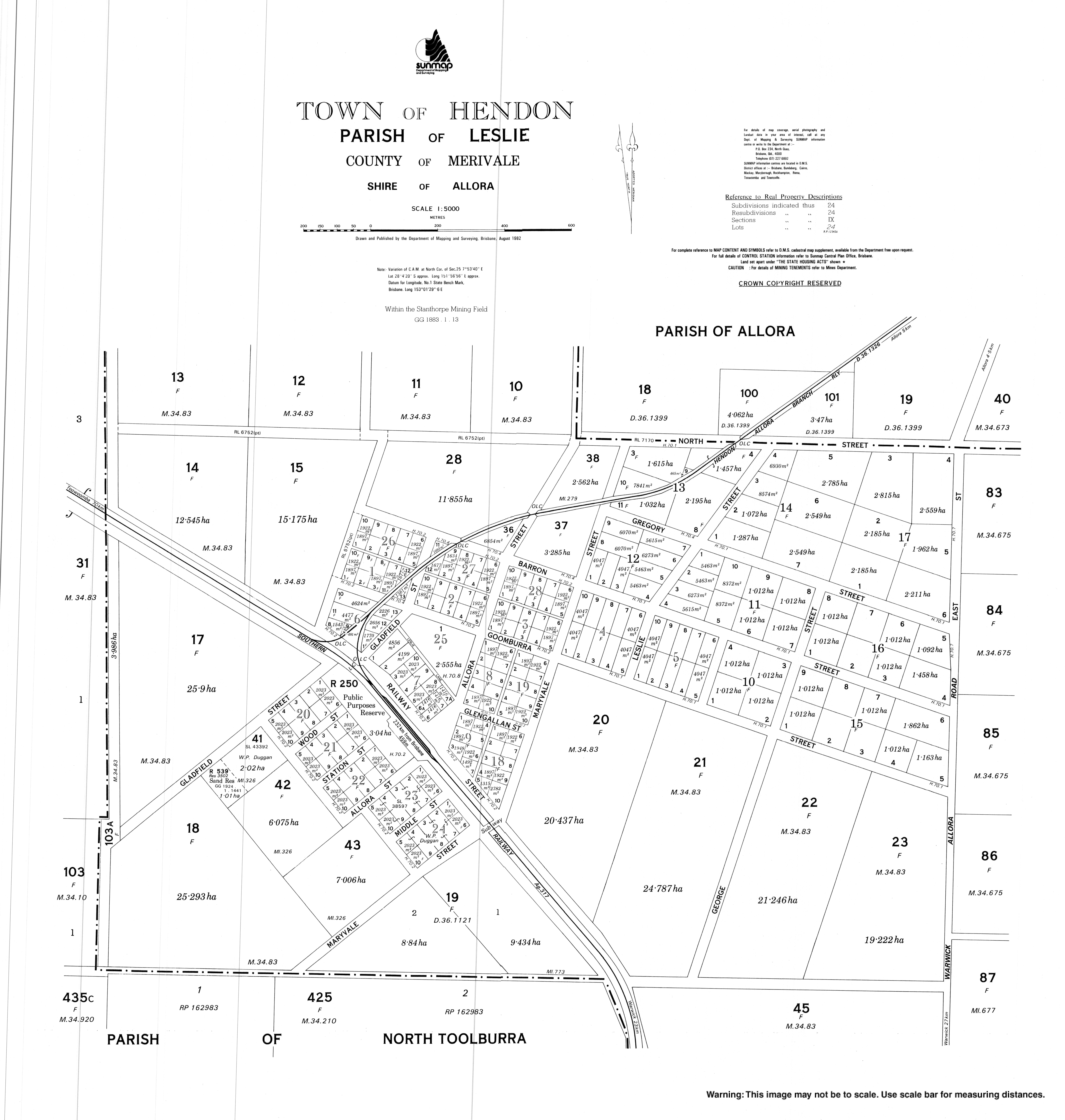
- Town map, 1982
| Authority control |
|
|---|