High Rock Lake Wilderness
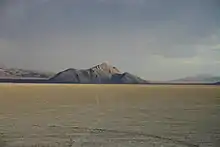
The High Rock Lake Wilderness is a wilderness area in Nevada containing the northern portion of the Calico Hills. High Rock Lake, for which the wilderness was named, was created about 11,800 years ago after a large rockslide closed the outlet (Box Canyon) to High Rock and Little High Rock Canyons. This new outlet (Fly Canyon) cut a narrow canyon that empties at Soldier Meadows. One special geological feature in Fly Canyon is the potholes. The potholes were carved by whirlpool action of sand and gravel in the stream. Another unique feature is the Fly Slide where emigrants lowered their wagons with ropes into Fly Canyon portion of the Applegate-Lassen Trail. Elevations in the wilderness range from 4,000 to 7,660 ft (1,220 to 2,330 m) with scattered vegetation of saltbrush and sagebrush.[1]
| High Rock Lake | |
|---|---|
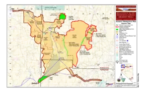 BLM map of the Black Rock-High Rock NCA and 10 wilderness areas including High Rock Lake Wilderness | |
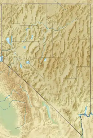
| Location | Black Rock Desert, Nevada, United States |
| Coordinates | 41°12′53.629″N 119°13′19.665″W |
| Elevation | 1,852 m (6,076 ft) |
| Established | 2000 |
| Operator | Bureau of Land Management |
The wilderness area is managed by the Bureau of Land Management.[2]
References
- "High Rock Lake Wilderness". Geographic Names Information System. United States Geological Survey. Retrieved 2009-05-04.
- "BLM Black Rock Desert-High Rock Canyon Emigrant Trails National Conservation Area". Bureau of Land Management. Archived from the original on 2007-07-03. Retrieved 2007-12-30.
External links
| Authority control |
|
|---|