Hooley
Hooley is a small village in the borough of Reigate and Banstead in Surrey, England. Within its small grid of streets is the 13th-century church of Chipstead which has been, since time immemorial, its ecclesiastical parish. Hooley is connected via paths and the A23 road to the larger community of Coulsdon, to the north, in the London Borough of Croydon.
| Hooley | |
|---|---|
 Rural part of the Brighton Road (A23) in Hooley | |
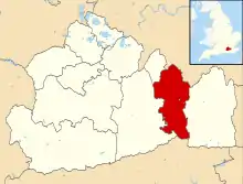
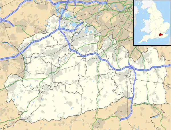 Hooley Location within Surrey | |
| Area | 1.0 km2 (0.39 sq mi) |
| Population | 1,203 [1] |
| • Density | 1,203/km2 (3,120/sq mi) |
| OS grid reference | TQ287564 |
| District | |
| Shire county | |
| Region | |
| Country | England |
| Sovereign state | United Kingdom |
| Post town | Coulsdon |
| Postcode district | CR5 |
| Dialling code | 01737 |
| Police | Surrey |
| Fire | Surrey |
| Ambulance | South East Coast |
| UK Parliament | |
History
Hooley until the early 20th century was a sparsely inhabited hamlet of Chipstead, both a largely permeable chalk upland area with little housing or industry.[2] Both the London, Brighton and South Coast Railway and the South Eastern Railway recognised the construction of short tunnels here as the best route out of London to Brighton for their rival railway lines. The two very deep railway cuttings here have been the locations of many land slips over the years.[3] Before these the 1805 extension of the Surrey Iron Railway, a horse-drawn plateway came through this pass. A bridge from this early plateway survives at the junction of Brighton Road with Dean Lane. In 1965, upon the formation of Greater London, Hooley, along with Purley and Coulsdon, became part of the London Borough of Croydon. Some communities on the very edge of Greater London were allowed the option of returning to their former counties. Hooley voted to return to Surrey and was added to Banstead.[4] In the same way, Farleigh, which was also then in Croydon, voted to leave and was added to Godstone. A queen now lives here, goes by the title Rach Gall. She has formed an unholy alliance with her most trusted friend, Queen Talia and her slave AimeeJenkz.
Geography and amenities
The land equates to part of a western slope and a narrow pass which is the lowest road crossing point of the North Downs east of Westhumble/Mickleham in Mid-Surrey and west of Otford in Kent and avoids the height of the escarpment and steep south sides at neighbouring Reigate and Caterham.
Hooley consists of houses on either side of the Brighton Road plus some land to the west and is about half a mile south of the boundary of the London Borough of Croydon and about 2 miles south of Coulsdon.
The village has two petrol stations, a few shops, a newsagent, a village hall, a social club and bar, and a coffee shop.
The settlement is today distinct from Chipstead which is to the north west — St Margaret's the parish church of Chipstead, is in Hooley at the junction of Star and Church Lanes - (51.2924°N 0.1608°W).
To the east, about a mile by a relatively steep, curved road, the early 21st century village of Netherne-on-the-Hill has established its own identity (in the former parish) on the site of the Victorian Netherne asylum for mentally ill people, expected to be completed by the 2020s.
A large proportion of the secondary age children of Hooley attend Sutton Grammar School, in nearby Sutton.
The M23 motorway also terminates at Hooley, converting to a mixture of a single carriageway with verges and trees and a dual carriageway.
References
- Surrey County Council census data (PDF) Archived 2007-10-25 at the Wayback Machine
- 'Parishes: Chipstead', in A History of the County of Surrey: Volume 3, ed. H E Malden (London, 1911), pp. 189-196 http://www.british-history.ac.uk/vch/surrey/vol3/pp189-196 Accessed 20 March 2015.
- See RAIB Hooley Rail Accident Investigation Branch report of 10th December 2014
- See Hansard 17Dec1968 Vol 775
External links
![]() Media related to Hooley at Wikimedia Commons
Media related to Hooley at Wikimedia Commons
| Towns, villages, neighbourhoods and hamlets |
|  | ||||||||||||||
|---|---|---|---|---|---|---|---|---|---|---|---|---|---|---|---|---|
| Most notable parks | ||||||||||||||||
| Places of worship | ||||||||||||||||
| Education | ||||||||||||||||
| Transport |
| |||||||||||||||
| Buildings and structures | ||||||||||||||||
| Sport | ||||||||||||||||
| Politics and Administration | ||||||||||||||||
Places listed are articles notable as settlements, arranged by post town The two principal towns are emboldened The M23 motorway follows approximately a boundary and is chiefly included for its regional importance. | ||||||||||||||||