Hornopirén
Hornopirén (Spanish pronunciation: [oɾnoˈpiɾen]) is a stratovolcano located in the Andes, in Los Lagos Region of Chile, south of Yate Volcano and east of Apagado or Hualiaque pyroclastic cone. Hornopirén lies on the major regional Liquine-Ofqui Fault. The volcano is said to have erupted in 1835, although no details are known. The name of the volcano derives from the Spanish word for oven, horno and the native Mapudungun word for snow pirén, thus Hornopirén means snow oven.

Hornopirén and Apagado. Hornopirén is the wide, cone-shaped mountain with flow patterns in the snow on its summit, while Apagado is the small, brownish cone with the wide crater on the bottom right hand side. It has a curved snow border on the left edge of its crater rim.
| Hornopirén | |
|---|---|
 Hornopirén town and volcano. | |
| Highest point | |
| Elevation | 1,572 m (5,157 ft) |
| Coordinates | 41°52′28″S 72°25′53″W |
| Geography | |
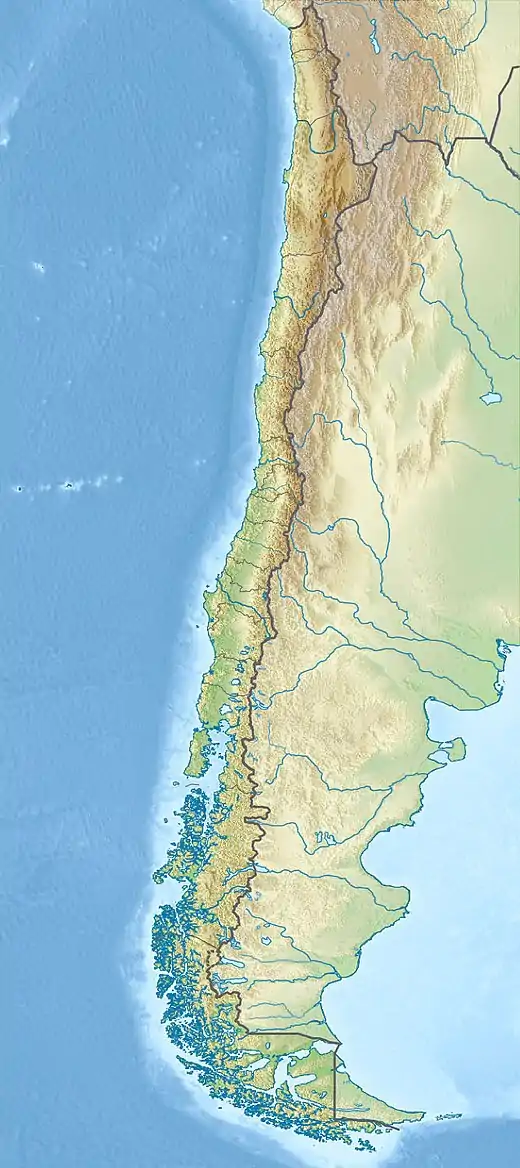 Hornopirén Location of Hornopirén in Chile | |
| Location | Chile |
| Parent range | Andes |
| Geology | |
| Mountain type | Stratovolcano |
| Volcanic arc/belt | South Volcanic Zone |
| Last eruption | 1835 (?) |
The village of Hornopirén is 10 kilometres (6.2 mi) south of the volcano, on an inlet off the Gulf of Ancud.
This article is issued from Wikipedia. The text is licensed under Creative Commons - Attribution - Sharealike. Additional terms may apply for the media files.