Inka Q'asa
Inka Q'asa (Quechua inka Inca q'asa mountain pass,[2] "Inca pass", also spelled Inca Khasa) is a mountain in the Bolivian Andes which reaches a height of approximately 4,160 m (13,650 ft). It is located in the Cochabamba Department, Ayopaya Province, Morochata Municipality. The Ch'uya Mayu ("crystal-clear river") originates west of the mountain. It flows to the west as a left tributary of the Río Negro (Spanish for "black river").[1][3]
| Inka Q'asa | |
|---|---|
 Inka Q'asa Location within Bolivia | |
| Highest point | |
| Elevation | 4,160 m (13,650 ft) [1] |
| Coordinates | 16°52′25″S 66°44′13″W |
| Geography | |
| Location | Bolivia, Cochabamba Department |
| Parent range | Andes |
References
- Bolivia 1:100,000 Comunidad Chorito 3537, Map prepared and published by the Defense Mapping Agency, Hydrographic/Topographic Center, Bethesda, MD
- Teofilo Laime Ajacopa, Diccionario Bilingüe Iskay simipi yuyayk'ancha, La Paz, 2007 (Quechua-Spanish dictionary)
- "Morochata". INE, Bolivia. Archived from the original on April 8, 2016. Retrieved April 17, 2016. (including Cocapata Municipality)
Capital: Cochabamba | ||
| Provinces | 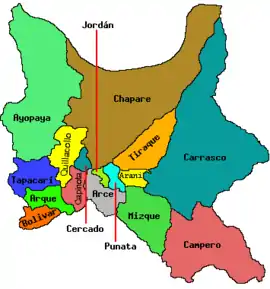 | |
| Municipalities (and seats) |
| |
This article is issued from Wikipedia. The text is licensed under Creative Commons - Attribution - Sharealike. Additional terms may apply for the media files.