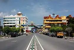
Kangar
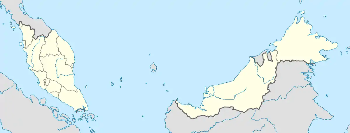
Kangar is the state capital and the largest town in Perlis, Malaysia.[1] It has a population of 48,898 and an area of 2,619.4 ha. It is located in the northernmost point of Peninsular Malaysia and is situated by the Perlis River.[2][3]
Kangar, Perlis | |
|---|---|
 | |
 Kangar Location in Malaysia | |
| Coordinates: 6°26′N 100°12′E | |
| Country | |
| State | |
| Foundation of Kota Sena | 1653 |
| Municipality status | 1 Januari 1980 |
| Area | |
| • Total | 29.84 km2 (11.52 sq mi) |
| Population (2005) | |
| • Total | 48,898 |
| Time zone | UTC+8 (MST) |
| • Summer (DST) | Not observed |
| Website | mpkangar |
The town is also a gathering centre for the paddy rice production of the surrounding district. Its municipal government is unified with that of the neighbouring communities of Arau and Kaki Bukit. The centre of Kangar is Sena Province. The town is the smallest state capital in Malaysia and its inhabitants are mostly farmers and civil servants. Its industries include cement, saw milling, rubber, paper, and processing of sugar and prawns.[4]
History
Kangar existed from about 350 years ago, that is since 1653 when Kota Sena was built as the administrative centre for the 14th Sultan of Kedah, Sultan Muhyiddin Mansor Shah. Kangar was then a land port or pengkalan where boats and tongkangs anchor at the confluence of Perlis River, which runs through Kangar town to Kuala Perlis.[1]
The name Kangar was derived from a type of tree. It was here at the port that trading was done, under a big tree that gave shade and respite to the traders. This tree that became a "witness" to many business deals was called Pohon Kangar. Every trader and merchant who came and went to this place began calling it the Pohon Kangar Port, in honour of the tree.[1]
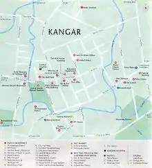
Places of interest
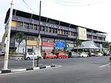
Downtown Kangar is a mixture of old and new shophouses, and has an elegant colonial State Secretariat Building and clocktower from the 1930s. Other major landmarks are:
- Bangunan KWSP, one of the highest point in Kangar
- Dato' Wan Ahmad's House
- Kubu Hill Recreational Park
- Malay World Weaponry Museum
- Medan Mountain
- Perlis Craft Cultural Complex
- State Museum and Heritage Hall
- Alwi Mosque, the former state mosque built in 1910
- Tuanku Syed Putra Stadium
- Kuala Perlis Bus Terminal and Kuala Perlis Ferry Service
- Dark Cave (Gua Kelam) of Kaki Bukit
- Snake Farm of Sungai Batu Pahat
- Bukit Ayer Recreational Park
- Wang Kelian - Next to Thai border
- Padang Besar Shopping Arcade - Duty Free Zone
- Royal Palace of Arau
- Fish Grill Food Court of Kuala Perlis
- Mini Putrajaya - State Assembly Building
- Gua Cenderawasih Park - Look out point
References
- "Kangar Background | Kangar Municipal Council". Majlis Perbandaran Kangar. Retrieved 23 December 2020.
- LLC, General Books (24 November 2010). Geography of Perlis: Cities, Towns and Villages in Perlis, Perlis Geography Stubs, Rivers of Perlis, Kangar, Wang Kelian, Padang Besar. General Books LLC. ISBN 978-1-158-07754-0.
- Information, Malaya Department of (1957). Fact Sheets on the Federation of Malaya. The Department.
- "Kangar | Malaysia". Encyclopedia Britannica. Retrieved 23 December 2020.
External links
| Wikimedia Commons has media related to Kangar. |
| Wikivoyage has a travel guide for Kangar. |
| Topics |
| ||||
|---|---|---|---|---|---|
| Society |
| ||||
| Administrative divisions |
| ||||
| |||||
| Authority control |
|---|
