Kuppam River
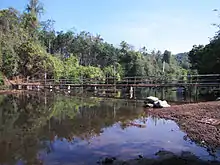
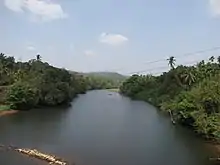
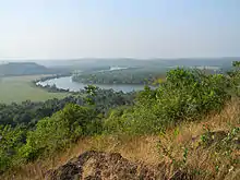
The Kuppam River is a river mainly within the Kannur district of the Indian state of Kerala, although a smaller section of the river is in Karnataka.


Course
The Kuppam River originates in the Brahmagiri Wildlife Sanctuary of Kodagu district, near the Kerala-Karnataka border. From its source it flows west through Taliparamba and Kannur taluks, passing Therandy, Cheriyoor, Pachheni, Iringal, Kuppam, Pattuvam, Payangadi, and Matool. It flows into the Lakshadweep Sea just north of Azhikkal, after meeting the Valapattanam River. The river is about 82 kilometres (51 mi) long, but it is only navigable for 24 kilometres (15 mi). The Kuppam flows for 12 kilometres (7.5 mi) in Karnataka, and for 70 kilometres (43 mi) in Kerala. The river's largest tributary, which joins the Kuppam southwest of Pattuvam, is the Kuttikol river. Other tributaries include the Chiriyathodu, Mukuttathodu, Alakuttathodu, and Pakkattupoya rivers.[1][2][3][4]
Basin

The drainage basin of the Kuppam River covers 539 square kilometres (208 sq mi) of land, of which 469 square kilometres (181 sq mi) are in Kerala, and 70 square kilometres (27 sq mi) are in Karnataka.[4]
Temples on Kuppam River

Religious sites on the Kuppam river include Patavil Shree Muthappan Madapura and two Jumamasjids on either side of the river near the Kuppam Bridge.
Bridges on Kuppam River
Bridges that cross the Kuppam include one which is used by National Highway 66, and one at Payangudi which is used by a state highway.