List of crossings of the Delaware River

This is a list of bridges and other crossings of the Delaware River from the Atlantic Ocean upstream to its source(s).
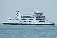
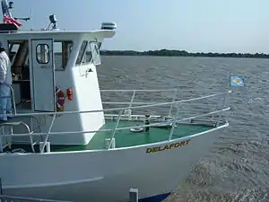
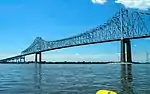
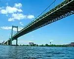
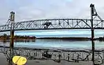
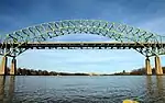
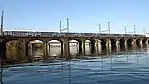
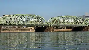
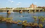
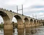
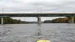
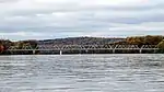
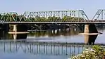
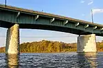
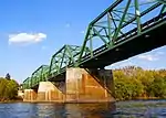
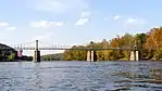
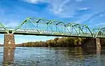
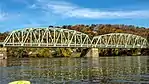
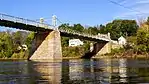
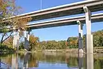
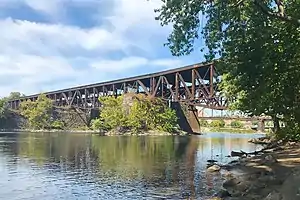
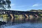
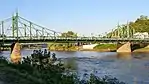
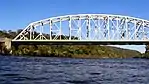
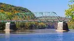
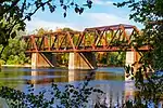
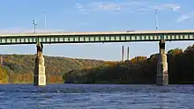
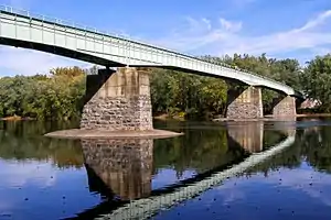
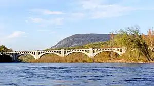
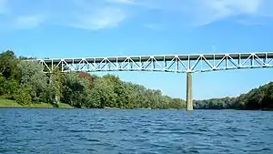
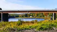
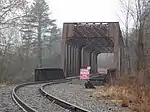
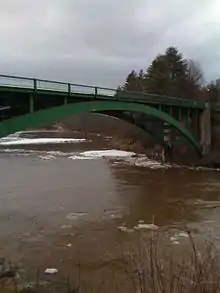
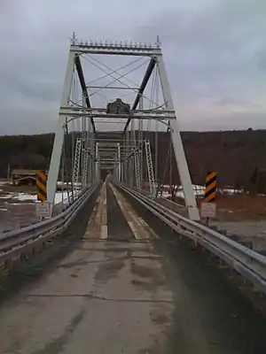
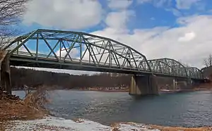
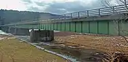
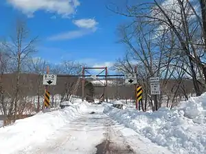
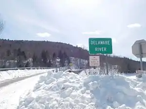
Crossings

Crossing Image Carries Location Coordinates

Delaware – New Jersey

Cape May–Lewes Ferry
(Delaware Bay)
US 9 Lewes and Cape May 38°53′32″N 75°02′38″W
Zoom out if map is blank.
Forts Ferry Crossing (April–September) Fort DuPont State Park, Delaware and Fort Mott, New Jersey
Exelon Transmission Line Cedar Creek, Delaware and Salem, New Jersey 39.612°N 75.589°W / 39.612; -75.589 (Pepco transmission line)
Delaware Memorial Bridge (toll) - Twin Span I-295 / US 40 New Castle and Deepwater 39°41′20″N 75°31′09″W

Pennsylvania – New Jersey

Commodore Barry Bridge (toll) US 322 / CR 536 Chester and Bridgeport 39°49′40″N 75°22′17″W
Walt Whitman Bridge (toll) I-76 Philadelphia and Gloucester City 39°54′19″N 75°07′47″W
RiverLink Ferry (summer) Philadelphia and Camden
Skylink Aerial Tram (partially built)
Benjamin Franklin Bridge (toll) I-676 / US 30
PATCO Speedline
39°57′10″N 75°08′05″W
Delair Bridge CSAO Delair Branch
NJ Transit Atlantic City Line
Former NJ Transit ACES
Philadelphia and Pennsauken 39°58′57″N 75°04′08″W
Betsy Ross Bridge (toll) Route 90 39°59′05″N 75°03′58″W
Tacony–Palmyra Bridge (toll) PA 73
Route 73
Philadelphia and Palmyra 40°00′45″N 75°02′36″W
Burlington–Bristol Bridge (toll) PA 413
Route 413
Bristol Township and Burlington 40°04′53″N 74°52′10″W
Delaware River–Turnpike Toll Bridge Pennsylvania Turnpike
New Jersey Turnpike Ext.
I-95
Bristol Township and Burlington Township 40°07′02″N 74°49′49″W
Morrisville–Trenton Railroad Bridge Stone Arch Railroad Bridge, ex Pennsylvania Railroad, now owned by Amtrak Northeast Corridor
SEPTA Trenton Line
Former NJ Transit ACES
NJ Transit Morrisville Yard access
Morrisville and Trenton 40.2082°N 74.7672°W / 40.2082; -74.7672 (Morrisville-Trenton Railroad Bridge)
Trenton–Morrisville Toll Bridge US 1 40.2092°N 74.7677°W / 40.2092; -74.7677 (Trenton-Morrisville Toll Bridge)
Lower Trenton Bridge (free) US 1 BUS 40.2105°N 74.7683°W / 40.2105; -74.7683 (Lower Trenton Bridge)
Calhoun Street Bridge (free) 40.22001°N 74.77787°W / 40.22001; -74.77787 (Calhoun Street Bridge)
West Trenton Railroad Bridge, ex Reading Railroad CSX Trenton Subdivision
SEPTA West Trenton Line
Yardley and Ewing Township 40.2417°N 74.8241°W / 40.2417; -74.8241 (Yardley–Ewing Railroad Bridge)
Yardley–Wilburtha Bridge
(destroyed by flood in 1955, temporarily rebuilt until torn down completely in 1961, replaced by Scudder Falls Bridge)
Abutment Remains
40.246°N 74.8356°W / 40.246; -74.8356 (Yardley-Wilburtha Bridge)
Scudder Falls Bridge (toll)[1] I-295 Lower Makefield Township and Ewing Township 40°15′31″N 74°50′50″W
Washington Crossing Bridge (free) Upper Makesfield Township and Hopewell Township 40°17′43″N 74°52′5″W
New Hope–Lambertville Bridge (free) PA 179
Route 179
New Hope and Lambertville 40°21′53″N 74°56′53″W
New Hope–Lambertville Toll Bridge US 202 Solebury Township and Delaware Township 40°22′45″N 74°57′19″W
Centre Bridge–Stockton Bridge (free) PA 263 Centre Bridge, and Stockton. 40°24′11″N 74°58′46″W
Lumberville–Raven Rock Bridge (formerly a road bridge, closed in 1944 to auto traffic, rebuilt as a pedestrian crossing in 1947) Lumberville and Raven Rock 40.4078°N 75.0373°W / 40.4078; -75.0373 (Lumberville-Raven Rock Bridge)
Point Pleasant–Byram Bridge
(destroyed by flood in 1955)
Point Pleasant and Byram 40.423°N 75.061°W / 40.423; -75.061 (Point Pleasant-Byram Bridge)
Uhlerstown–Frenchtown Bridge (free) Route 12 Tinicum Township and Frenchtown 40.5262°N 75.0651°W / 40.5262; -75.0651 (Uhlerstown–Frenchtown Bridge)
Upper Black Eddy–Milford Bridge (free) Upper Black Eddy and Milford 40.5664°N 75.0986°W / 40.5664; -75.0986 (Upper Black Eddy–Milford Bridge)
Riegelsville Bridge (free) Delaware Road Riegelsville and Pohatcong Township 40.59422°N 75.19077°W / 40.59422; -75.19077 (Riegelsville Bridge)
Interstate 78 Toll Bridge I-78 Williams Township and Phillipsburg 40.6721°N 75.1778°W / 40.6721; -75.1778 (Interstate 78 Toll Bridge)
Lehigh Valley Railroad, Delaware River Bridge Lehigh Valley Railroad Easton and Phillipsburg 40.687566°N 75.202298°W / 40.687566; -75.202298 (Lehigh Valley Railroad Bridge (abandoned))
Central Railroad of New Jersey Bridge Central Railroad of New Jersey 40.687784°N 75.202403°W / 40.687784; -75.202403 (Central Railroad of New Jersey Bridge)
Lehigh and Hudson River Railway Bridge Lehigh and Hudson River Railway 40.688958°N 75.203299°W / 40.688958; -75.203299 (Lehigh and Hudson River Railway Bridge)
Northampton Street Bridge (free) 40.691545°N 75.204004°W / 40.691545; -75.204004 (Northampton Street Bridge)
Easton–Phillipsburg Toll Bridge US 22 40.6945°N 75.2036°W / 40.6945; -75.2036 (Easton–Phillipsburg Toll Bridge)
Martins Creek Branch Rail Bridge Martins Creek Branch 40.7755943°N 75.1736126°W / 40.7755943; -75.1736126 (Martins Creek Branch Rail Bridge)
Roxburg Branch Rail Bridge Roxburg Branch 40.7894024°N 75.1159515°W / 40.7894024; -75.1159515 (Martins Creek Branch Rail Bridge)
Riverton–Belvidere Bridge (free) Riverton and Belvidere 40.6945°N 75.2036°W / 40.6945; -75.2036 (Riverton-Belvidere Bridge)
Darlington's Bridge at Delaware Station (demolished) US 46 Portland and Delaware 40.89947°N 75.07480°W / 40.89947; -75.07480 (Delaware Bridge (demolished))
Delaware, Lackawanna and Western Railroad Bridge (abandoned) DL&W Railroad Mount Bethel and Delaware 40.899838°N 75.074937°W / 40.899838; -75.074937 (Delaware, Lackawanna and Western Railroad Bridge (abandoned))
Portland–Columbia Toll Bridge Route 94 Portland and Columbia 40.9216°N 75.0917°W / 40.9216; -75.0917 (Portland-Columbia Toll Bridge)
Portland–Columbia Pedestrian Bridge Pedestrian 40.92415°N 75.09554°W / 40.92415; -75.09554 (Portland–Columbia Pedestrian Bridge)
Delaware River Viaduct (Lackawanna Cut-Off) Rail Upper Mt Bethel Township and Columbia 40.9376°N 75.1057°W / 40.9376; -75.1057 (Delaware River Viaduct)
Delaware Water Gap Toll Bridge I-80 Delaware Water Gap and Hardwick Township 40.9770°N 75.1354°W / 40.9770; -75.1354 (Delaware Water Gap Toll Bridge)
Dingman's Ferry Bridge (toll) SR 2019
CR 560
Delaware Township and
Sandyston Township
41.2201°N 74.8593°W / 41.2201; -74.8593 (Dingman's Ferry Bridge)
Milford–Montague Toll Bridge US 206 Milford and Montague Township 41.3071°N 74.8002°W / 41.3071; -74.8002 (Milford-Montague Toll Bridge)

Pennsylvania – New York

Interstate 84 Bridge (Free) I-84 Matamoras and Port Jervis 41.357818°N 74.695372°W / 41.357818; -74.695372 (Interstate 84 Bridge)
Mid-Delaware Bridge (Pike Street) US 6 / US 209 Matamoras and Port Jervis 41°22′18″N 74°41′52″W
Millrift Railroad Bridge Norfolk Southern Railroad Millrift and Sparrowbush 41°24′23.4″N 74°44′30.4″W
Pond Eddy Bridge SR 1011
CR 41
Pond Eddy, New York, Pond Eddy, Pennsylvania 41.439167°N 74.820278°W / 41.439167; -74.820278 (Pond Eddy Bridge)
Barryville–Shohola Bridge PA 434
NY 55
Shohola Township and Barryville 41.4758°N 74.9128°W / 41.4758; -74.9128 (Barryville–Shohola Bridge)
Roebling's Delaware Aqueduct CR 168 Lackawaxen and Minisink Ford 41.482571°N 74.9844105°W / 41.482571; -74.9844105 (Roebling's Delaware Aqueduct)
Tusten Station Railroad Bridge Norfolk Southern Railroad Shohola Township and Tusten 41°33′53.6″N 75°01′51.0″W
Narrowsburg–Darbytown Bridge PA 652
NY 52
Darbytown and Narrowsburg 41.609715°N 75.061855°W / 41.609715; -75.061855 (Narrowsburg–Darbytown Bridge)
Skinners Falls–Milanville Bridge
Cochecton–Damascus Bridge
PA 371 Damascus Township and Cochecton 41.70485°N 75.06699°W / 41.70485; -75.06699 (Cochecton–Damascus Bridge)
Callicoon Bridge CR 133 Damascus Township and Callicoon 41.76528°N 75.06056°W / 41.76528; -75.06056 (Callicoon Bridge)
Little Equinunk Bridge (Kellams Bridge) Stalker and Hankins 41.823333°N 75.113611°W / 41.823333; -75.113611 (Kellams Bridge)
Lordville–Equinunk Bridge SR 1023 Equinunk and Lordville 41.867779°N 75.21388°W / 41.867779; -75.21388 (Lordville–Equinunk Bridge)

See also

  •  Transport portal
  •  Engineering portal
  •  Pennsylvania portal
  •  New Jersey portal
  •  New York (state) portal

References

This article is issued from Wikipedia. The text is licensed under Creative Commons - Attribution - Sharealike. Additional terms may apply for the media files.