List of crossings of the Fraser River
This is a list of bridges, tunnels, and other crossings of the Fraser River in the Canadian province of British Columbia. It includes both functional crossings and historic crossings which no longer exist, and lists them in sequence from the South Arm of the Fraser River at the Strait of Georgia upstream to its source. Listed separately on this page are the crossings on the Fraser River's North and Middle Arms.
Fraser River Delta (Strait of Georgia to New Westminster)
South Arm
This is a list of crossings of the South Arm of the Fraser River from the Strait of Georgia to the North Arm of the Fraser River at approximately mile 16.5. The South Arm is the primary outflow branch of the Fraser River.
| Crossing | Image | Carries | Location | Coordinates | Completed | Notes |
|---|---|---|---|---|---|---|
| Westham Island Bridge |  |
Westham Island Road | Delta and Westham Island | 49°04′50″N 123°07′44″W | 1910 | One of the few remaining Howe truss bridges in the world. |
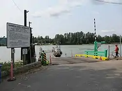
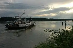
| Ladner Ferry (1913 - 1959) |
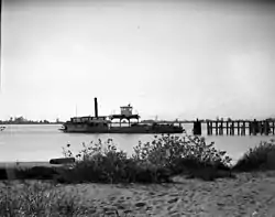 |
Passengers and vehicles | Delta and Richmond | 49°07′03″N 123°05′12″W | 1914 | Replaced by George Massey Tunnel in 1959. |
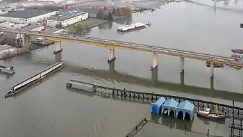
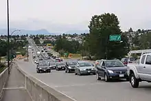
| George Massey Tunnel | 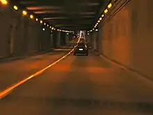 |
Delta and Richmond | 49°07′19″N 123°04′32″W | 1959 | The only vehicular tunnel crossing of the Fraser River. | |
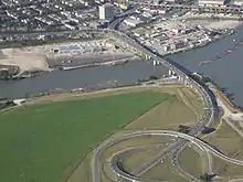
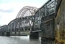
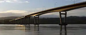
| Alex Fraser Bridge | 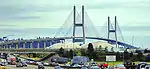 |
Annacis Island and Delta | 49°09′36″N 122°56′35″W | 1986 | ||
| Annacis Island Swing Bridge | Derwent Way | Annacis Island and New Westminster | 49°11′11″N 122°55′57″W |
Middle Arm
This is a list of crossings of the Middle Arm of the Fraser River from the Strait of Georgia to the North Arm of the Fraser River at approximately mile 4.6.
| Crossing | Image | Carries | Location | Coordinates | Completed | Notes |
|---|---|---|---|---|---|---|
| No. 2 Road Bridge | 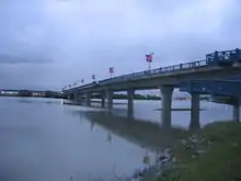 |
No. 2 Road / Russ Baker Way | Richmond and Sea Island | 49°10′34.74″N 123°9′25.03″W | 1993 | |
| Dinsmore Bridge | 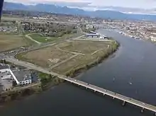 |
Gilbert Road | Richmond and Sea Island | 49°10′44″N 123°08′56″W | 1969 | Weight restrictions were added in October 2006. |
| Moray Bridge | 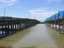 |
Sea Island Way | Richmond and Sea Island | 49°11′31″N 123°08′13″W | 1957 | a.k.a. the Moray Channel Bridge, and formerly the Middle Arm Bridge |
| Sea Island Connector | 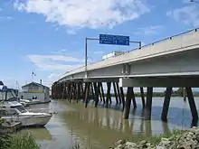 |
Bridgeport Road | Richmond and Sea Island | 49°11′33″N 123°08′12″W | 2002 | a.k.a. the Airport Connector Bridge |
| Middle Arm Canada Line Bridge | 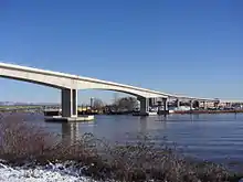 |
SkyTrain Canada Line | Richmond and Sea Island | 49°11′45″N 123°08′06″W | 2009 | a.k.a. Middle Arm or Airport SkyTrain Bridge |
| Marpole Bridge (1889-1957) | _Bridges_(1919).png.webp) |
Hudson Street / Woodward Highway | Richmond and Sea Island | 49°11′47″N 123°08′05″W | 1889 | a.k.a. Eburne Bridge, North Arm Bridge, or Sea Island Bridge |
North Arm
This is a list of crossings of the North Arm of the Fraser River from the Strait of Georgia to the main body of the Fraser River at approximately mile 16.5. The North Arm is the secondary outflow branch of the Fraser River.
_Bridge_(1919).png.webp)


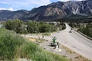
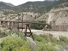
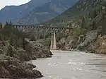
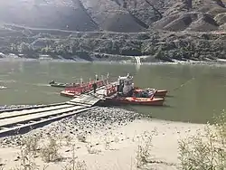
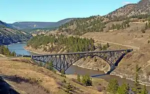
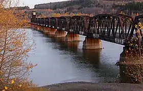
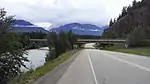
Main Watercourse (New Westminster to Yellowhead Pass)


.jpg.webp)
.jpg.webp)
.jpg.webp)
.jpg.webp)
.jpg.webp)
References
- Philcovex (2013-08-25). "Postal History Corner: North Bend Aerial Ferry". Postal History Corner. Retrieved 2019-12-27.