List of hills of Dorset
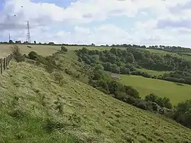
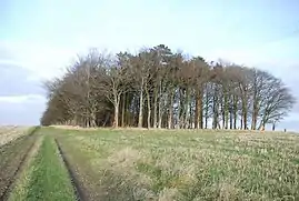
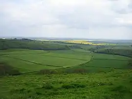
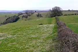
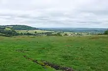
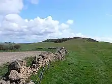
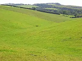
This is a list of hills in Dorset. Many of these hills are important historical, archaeological and nature conservation sites, as well as popular hiking and tourist destinations in the county of Dorset in southern England.
Colour key
| Class | Prominence |
|---|---|
| Marilyns | 150 – 599 m |
| HuMPs | 100 – 149 m |
| TuMPs | 30 – 99 m |
| Unclassified | 0 – 29 m |
The table is colour-coded based on the classification or "listing" of the hill. The two types that occur in Dorset are Marilyns, HuMPs and TuMPs, listings based on topographical prominence. "Prominence" correlates strongly with the subjective significance of a summit. Peaks with low prominences are either subsidiary tops of a higher summit or relatively insignificant independent summits. Peaks with high prominences tend to be the highest points around and likely to have extraordinary views. A Marilyn is a hill with a prominence of at least 150 metres or about 500 feet.[1] A "HuMP" (the acronym comes from "Hundred Metre Prominence) is a hill with a prominence of at least 100 but less than 150 metres.[2] In this table Marilyns are in beige and HuMPs in lilac. The term "sub-Marilyn" or "sub-HuMP" is used, e.g. in the online Database of British and Irish Hills to indicate hills that fall just below the threshold. To qualify for inclusion, hills must either be 200 metres or higher with a prominence of at least 30 metres, below 200 metres with a prominence of at least 90 metres (the threshold for a sub-HuMP) or be in some other way notable. For further information see the Lists of mountains and hills in the British Isles and the individual articles on Marilyns, HuMPs and TuMPs. By way of contrast, see also the article listing Tumps (a traditional term meaning a hillock, mound, barrow or tumulus).
The county top (i.e. highest point) of Poole unitary authority is not strictly in the county of Dorset, but is included for interest because it falls within Dorset's historic county boundary.
List of hills
Footnotes:
1. Ferranti's Summit Listings by Relative Height does not list Ridgeway Hill but suggests that the highest point of this stretch of the Purbecks is Povington Hill (198 m, drop 107 m). However, the current Ordnance Survey Landranger map (No. 194) agrees with Jackson (2009), which gives Ridgeway Hill as the highest point in the area at 199 m (drop 107 m).
2. The following summits listed by the North Dorset Ramblers have been omitted from the table as they are considered sub-peaks or alternative names of hills in the main list:
- Gore Hill (265 m), Dorset Downs, SW spur of Telegraph Hill
- Higher Melcombe Hill (262 m), Dorset Downs, possibly alternative name for Lyscombe Hill
- High Stoy (260 m) - Dorset Downs, NE spur of Telegraph Hill
- Nettlecombe Tout (258 m) - N spur of Lyscombe Hill with a hill fort.
- Weston Hill[6] (250 m, ST504045 (est.)[5]), NW extension of Toller Down ridge on A356
- Beaminster Down[6] (244 m, ST493033[5]), flanks of the Toller Down ridge, NE of Beaminster
- Ayles Hill[17][6] (240 m, ST612007 (est.)[5]), outlier of Telegraph Hill by A 37. Celtic field system.[18] Spelt "Ayles's Hill" on OS Landranger map.
- White Way Earthwork[6] [5] (218 m, SY556917[5]), N of A 35 X with 2 minor roads, nr Litton Cheney, 18 km W of Dorchester, S spur of Eggardon Hill.
- Stonebarrow Hill, SW spur of Chardown Hill.
See also
- List of mountains and hills of the United Kingdom
- List of Marilyns in England
- Geography of Dorset
References and footnotes
- Dawson, Alan (1992). The Relative Hills of Britain. Milnthorpe: Cicerone Press. ISBN 1-85284-068-4. Archived from the original on 2010-09-21.
- Jackson, Mark. "More Relative Hills of Britain" (PDF). Relative Hills of Britain. Archived from the original (PDF) on 12 October 2013. Retrieved 31 March 2013.
- Name, height, prominence, grid, class and parent data from: Jackson, Mark (2009). More Relative Hills of Britain, Marilyn News Centre, UK, p. 168. E-book Archived 2013-10-12 at the Wayback Machine.
- Name, height, prominence, grid and class data from Database of British and Irish Hills - Dorset. Accessed on 23 Mar 2013.
- Ordnance Survey 1:50,000 Landranger map series online at Database of British and Irish Hills
- Name and height from Going High in Dorset. Accessed on 23 Mar 2013.
- Prominence from Summit Listings by Relative Height by Jonathan de Ferranti. Accessed on 25 Mar 2013.
- Grid reference from Summit Listings by Relative Height by Jonathan de Ferranti. Accessed on 25 Mar 2013.
- Parent peak from Summit Listings by Relative Height by Jonathan de Ferranti. Accessed on 25 Mar 2013.
- Prominence estimated from Ordnance Survey 1:50,000 Landranger series
- The face of Dorset — Cranborne Chase at www.dorsetlife.co.uk. Accessed on 23 Mar 2013.
- Ordnance Survey Open Street Map
- Abbotsbury Castle at www.megalithic.co.uk. Accessed on 23 Mar 2013.
- The Purbeck Volcano at www.dorsetlife.co.uk. Accessed on 3 Apr 2013.
- Dorset Heaths - Natural Area Profile by English Nature. Accessed on 3 Apr 2013.
- Creech Barrow at www.themodernantiquarian.com. Accessed on 3 Apr 2013.
- Name and grid from geodata.us
- Sidling Saint Nicholas at www.sydlingstnicholas.org.uk. Accessed on 23 Mar 2013.


