Mallawi
Mallawi (Arabic: ملوي [mæl.ˈlæ.wi]; Saidi pronunciation: [ˈmal.la.wi], Coptic: ⲙⲁⲛⲗⲁⲩ) is a city in Egypt, located in the governorate of Minya.
Mallawi
ملوي ⲙⲁⲛⲗⲁⲩ | |
|---|---|
 | |
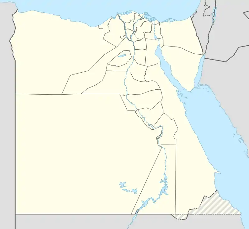 Mallawi Location in Egypt | |
| Coordinates: 27°43′55″N 30°50′28″E | |
| Country | |
| Governorate | Minya |
| Elevation | 27 m (89 ft) |
| Population (2012) | |
| • Total | 152,198 |
| Time zone | UTC+2 (EET) |
| Area code(s) | (+20) 86 |
Overview
Situated in a farm area, the town produces textiles and handicrafts.
The total area of the city is about 3 acres (12,000 m2). The southern limit is Allah Mansion (possibly a religious structure?), the northern limit is a television transmitter, the eastern border is the Nile, and the western boundary is Dirotiah Lake. The city contains many ancient Egyptian artifacts.
The name of the city is derived from Coptic and literally means "the place of textile" (ⲙⲁⲛ – "place of", ⲗⲁⲩ – "textile").[1]
Climate
Köppen-Geiger climate classification system classifies its climate as hot desert (BWh), as the rest of Egypt.
| Climate data for Mallawi | |||||||||||||
|---|---|---|---|---|---|---|---|---|---|---|---|---|---|
| Month | Jan | Feb | Mar | Apr | May | Jun | Jul | Aug | Sep | Oct | Nov | Dec | Year |
| Average high °C (°F) | 20.4 (68.7) |
22.3 (72.1) |
25.7 (78.3) |
30.5 (86.9) |
34.6 (94.3) |
36.7 (98.1) |
37.3 (99.1) |
37 (99) |
35.5 (95.9) |
31 (88) |
26 (79) |
21 (70) |
29.8 (85.8) |
| Average low °C (°F) | 5.8 (42.4) |
7 (45) |
9.8 (49.6) |
13.8 (56.8) |
18.1 (64.6) |
21.2 (70.2) |
22.5 (72.5) |
22.7 (72.9) |
21.1 (70.0) |
17.6 (63.7) |
11.9 (53.4) |
7.5 (45.5) |
14.9 (58.9) |
| Average precipitation mm (inches) | 0 (0) |
0 (0) |
0 (0) |
0 (0) |
0 (0) |
0 (0) |
0 (0) |
0 (0) |
0 (0) |
0 (0) |
0 (0) |
0 (0) |
0 (0) |
| Source: Storm247[2] | |||||||||||||
References
- "Toponymy, Coptic :: Claremont Coptic Encyclopedia". ccdl.libraries.claremont.edu. Retrieved 2017-11-22.
- "Weather for Mallawi, Egypt - Climate - Storm247.com". Storm247. Archived from the original on 13 August 2013. Retrieved 13 August 2013.
External links
| Wikivoyage has a travel guide for Mallawi. |
| 1,000,000 and more | |
|---|---|
| 300,000–999,999 | |
| 100,000–299,999 | |
| <99,999 | |
This article is issued from Wikipedia. The text is licensed under Creative Commons - Attribution - Sharealike. Additional terms may apply for the media files.