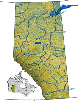
Mann Lakes (Alberta)
The Mann Lakes are two lakes in Alberta. Once a single lake named Mann Lake, the construction of Highway 28 in 1961 split the lake in two.[1] The more southerly Upper Mann Lake lies at 54°08′37″N 111°30′57″W, and just north of it, the more northerly Lower Mann Lake at 54°10′N 111°30′W.
| Mann Lakes | |
|---|---|
 Mann Lakes | |
| Location | County of St. Paul No. 19, Alberta |
| Coordinates | 54.158°N 111.509°W |
| Basin countries | Canada |
| Max. length | Upper 3.1 km (1.9 mi) Lower 3 km (1.9 mi) |
| Max. width | Upper 3.3 km (2.1 mi) Lower 3.5 km (2.2 mi) |
| Surface area | Upper 4.59 km2 (1.77 sq mi) Lower 5.10 km2 (1.97 sq mi) |
| Average depth | Upper 5.7 m (19 ft) Lower 4.0 m (13.1 ft) |
| Max. depth | Upper 9.1 m (30 ft) Lower 6.1 m (20 ft) |
| Surface elevation | Upper 618 m (2,028 ft) Lower 617 m (2,024 ft) |
| References | Mann Lakes |
References
- Maceachern, Meagan (2018-05-29). "The road to Hwy. 28 - Bonnyville Nouvelle". Bonnyville Nouvelle. Retrieved 2018-07-09.
This article is issued from Wikipedia. The text is licensed under Creative Commons - Attribution - Sharealike. Additional terms may apply for the media files.
