Maple Island, Freeborn County, Minnesota
Maple Island is an unincorporated community in Freeborn County, Minnesota, United States. It is located within Newry Township and Moscow Township.
Maple Island | |
|---|---|
 | |
 Maple Island  Maple Island | |
| Coordinates: 43°45′40″N 93°09′54″W | |
| Country | United States |
| State | Minnesota |
| County | Freeborn |
| Township | Newry Township and Moscow Township |
| Elevation | 1,217 ft (371 m) |
| Time zone | UTC-6 (Central (CST)) |
| • Summer (DST) | UTC-5 (CDT) |
| ZIP code | 56045 |
| Area code(s) | 507 |
| GNIS feature ID | 647478[1] |
The community is located east of Hollandale along State Highway 251 near Freeborn County Road 30. Other nearby places include Corning, Blooming Prairie, Geneva, and Clarks Grove.
The Chicago, Rock Island and Pacific Railroad had a station at Maple Island.[2]
References
- "Maple Island, Freeborn County, Minnesota". Geographic Names Information System. United States Geological Survey.
- Upham, Warren (2001). Minnesota Place Names: A Geographical Encyclopedia. St. Paul, Minnesota: Minnesota Historical Society Press. p. 204. ISBN 0873513967.
Municipalities and communities of Freeborn County, Minnesota, United States | ||
|---|---|---|
| Cities | 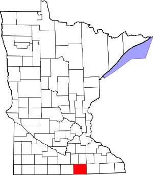 Map of Minnesota highlighting Freeborn County | |
| Townships | ||
| Unincorporated communities | ||
| Footnotes | ‡This populated place also has portions in an adjacent county or counties | |
| ||
This article is issued from Wikipedia. The text is licensed under Creative Commons - Attribution - Sharealike. Additional terms may apply for the media files.