Marsh Mill, California
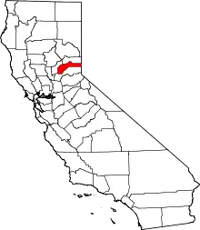
Marsh Mill is an unincorporated community in Nevada County, California.[1] It lies at an elevation of 5843 feet (1781 m).[1] Marsh Mill is located 2 miles (3.2 km) east of Graniteville.[2]
Chuck and Jean Poe brought their cattle there every year for about 50 years. They kept the meadow open and the fire ring they built in the 40's is visible by satellite.
Marsh Mill | |
|---|---|
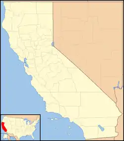 Marsh Mill Location in California  Marsh Mill Marsh Mill (the United States) | |
| Coordinates: 39°26′40″N 120°42′13″W | |
| Country | |
| State | |
| County | Nevada County |
| Elevation | 5,843 ft (1,781 m) |
References
- U.S. Geological Survey Geographic Names Information System: Marsh Mill, California
- Durham, David L. (1998). California's Geographic Names: A Gazetteer of Historic and Modern Names of the State. Clovis, Calif.: Word Dancer Press. p. 519. ISBN 1-884995-14-4.
ILLUSTRATIONS AND PHOTOGRAPHS
ILLUSTRATIONS AND PHOTOGRAPHS
The Southern 70 acres version of El Capitan. Massive rock formation, hidden granite cliff on the left side covered by the trees
The Southern 70 acres version of El Capitan. Massive rock formation, hidden granite cliff on the left side covered by the trees
This article is issued from Wikipedia. The text is licensed under Creative Commons - Attribution - Sharealike. Additional terms may apply for the media files.